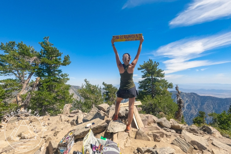
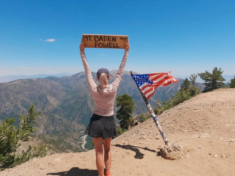
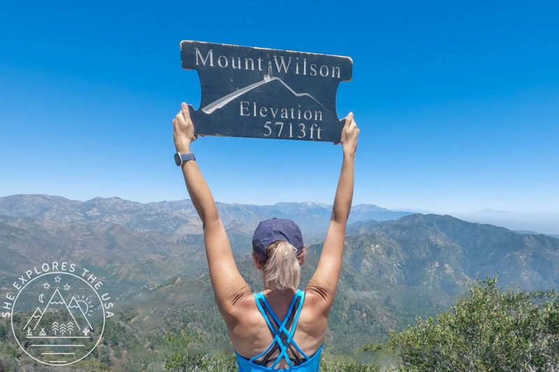
San Jacinto Peak Hike Via Marion Mountain Trail
DISCLOSURE: This post may contain affiliate links. If you purchase after clicking one of my links, I may earn a small commission at no extra cost to you. As an Amazon Associate, I earn from qualifying purchases. For more information, see my disclaimer.
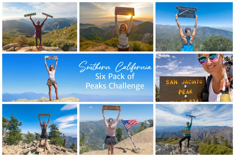
San Jacinto via Marion Mountain Trail is one of the original SoCal Six Pack of Peaks challenge hikes, and I chose this as my fifth peak for my 2024 challenge. This hike, which climbs from 6,330 to 10,834 feet, offered stunning views and a true test of endurance. In this blog post, I’ll share my experience on this trail and offer tips on dealing with altitude sickness, having unfortunately suffered from it myself.
- About San Jacinto Peak
- Gear Recommendation for your San Jacinto hike
- Marion Mountain Trail to San Jacinto Peak: Route Overview
- Hiking to San Jacinto Peak
- Altitude Sickness on San Jacinto: My Experience
- Relive my San Jacinto Peak Hike
- Hiking San Jacinto via Marion Mountain Trail FAQ
- Final Thoughts: Hiking San Jacinto via Marion Mountain Trail
About San Jacinto Peak
San Jacinto Peak stands tall at 10,834 feet. It is the highest point in the San Jacinto Mountains, offering breathtaking panoramic views of Southern California. You can reach the peak by several trails, each with its own character.
- The Marion Mountain Trail is a popular choice. It is steep and challenging but rewards hikers with lush forest scenery.
- The Deer Springs Trail is longer but less steep. It offers a gradual climb through dense woods and wide-open meadows.
- Another favorite is the Devil’s Slide Trail. Starting at Humber Park, it winds through pine forests and high mountain meadows before joining the Pacific Crest Trail for a scenic final approach.
- For those seeking a longer, more remote adventure, the Fuller Ridge Trail to San Jacinto Peak is a suitable option.
- Lastly, the Palm Springs Aerial Tramway route combines a scenic tram ride with hiking. It is great for hikers who want to shorten their climb.
Gear Recommendation for your San Jacinto hike


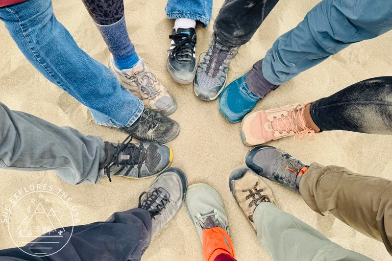
How to Choose the Best Hiking Shoes (& Top Picks)

Choosing the right hiking shoes is key to comfort, performance, and safety. The right footwear prevents discomfort on rugged […]…

Garmin GPSMAP 67i Review & Which InReach Suits You?
Review of the Garmin GPSMAP 67i and comparison to the GPSMAP 66i, Mini 2 and InReach Messenger plus[…]…
Marion Mountain Trail to San Jacinto Peak: Route Overview
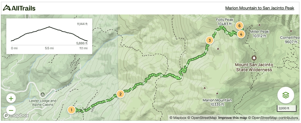
San Jacinto Peak via Marion Mountain Trail Quick Stats
- Distance: 13.2 miles round trip
- Elevation gain: ~4,500 ft
- Time: 8–9 hrs
- Difficulty: Strenuous (17 % avg grade)
- Access: The Marion Mountain trailhead requires an Adventure Pass and a free wilderness permit
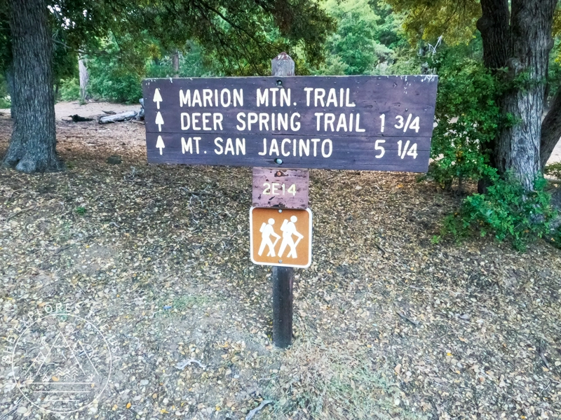
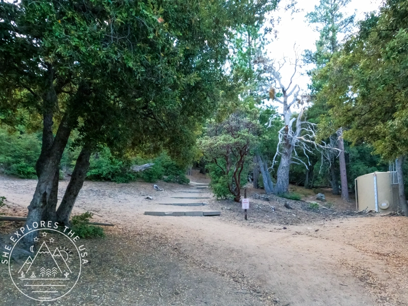
Trailhead & Parking
Marion Mountain trailhead parking
There is ample parking at the trailhead, but it requires the display of a San Bernardino National Forest Adventure Pass in your vehicle when using the Forest for recreational purposes.
Marion Mountain Trailhead Camping
The trailhead is very close to Marion Campground, where I stayed the night before. If you camp there, you can start your hike from the campground and skip the first half mile from the official trailhead. This makes the hike a bit shorter and less steep at the beginning.
San Jacinto Peak via Marion Mountain Trail Map
Click the map to view the full route on AllTrails.

🥾 Plan Smarter Hikes with AllTrails
AllTrails is my go-to for trip planning, from checking trail reviews to downloading maps, navigating from my phone, and sending routes straight to my Garmin 67i. Offline maps, alerts, and AI route planning make upgrading to Plus & Peak worth it!
Best Time to Hike San Jacinto via Marion Mountain
The Marion Mountain Trail is usually snow-free from late May through October, depending on the season’s snowpack.
- Best months: June through September for clear trails and wildflowers
- Snow possible: Early spring and late fall, spikes or crampons may be needed
- Avoid winter unless you’re experienced in snow travel and navigation
Summer weekends can get crowded, especially with hikers tackling the SoCal Six Pack of Peaks. Arrive early to secure parking and enjoy cooler temps.
Elevation Gains on the Marion Mountain Trail
This hike climbs more than 4,500 feet in elevation for about 6.6 miles one-way. Here are key altitude points:
| Trail Landmark | Elevation |
|---|---|
| Trailhead | 6,330 ft |
| Deer Springs Trail Junction | ~8,000 ft |
| Little Round Valley Campground | ~9,800 ft |
| San Jacinto Peak | 10,834 ft |
Hiking to San Jacinto Peak
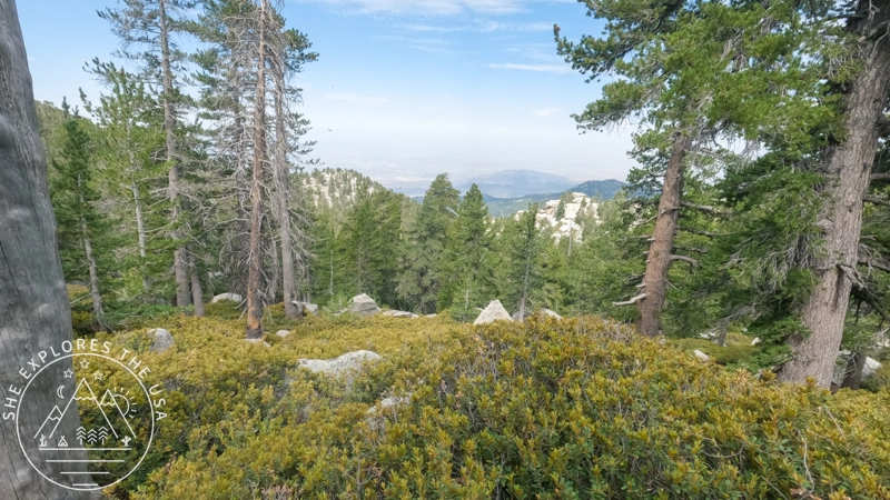
Starting at the official trailhead at 6,330 feet, the hike to San Jacinto Peak began with a tough, steep climb for the first two miles. It felt even steeper on the way back. After that initial climb, the trail became easier, but the elevation still rose steadily, reaching 8,000 feet at the two-mile point.
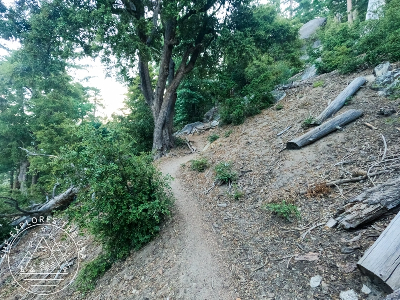
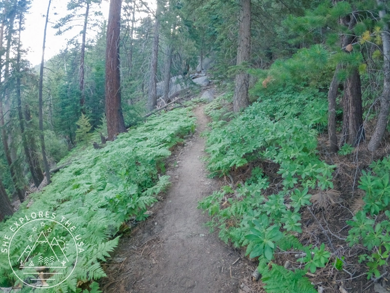
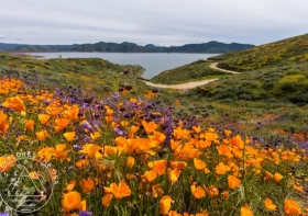
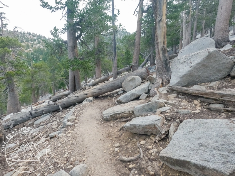
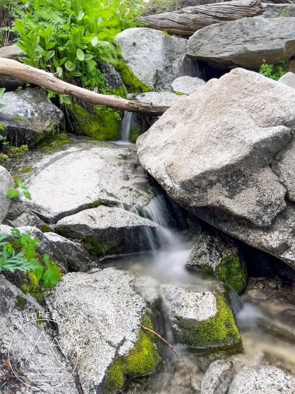
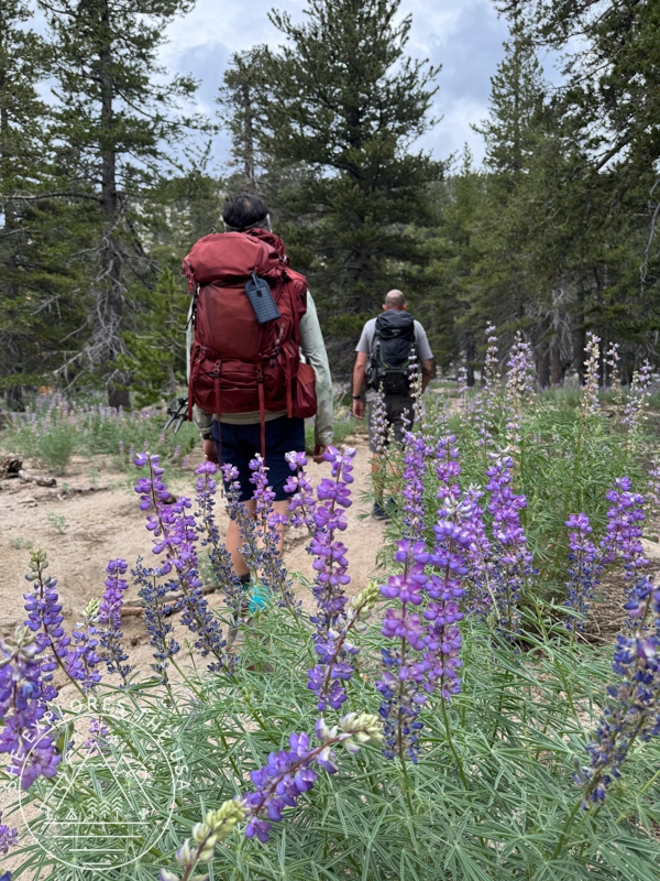
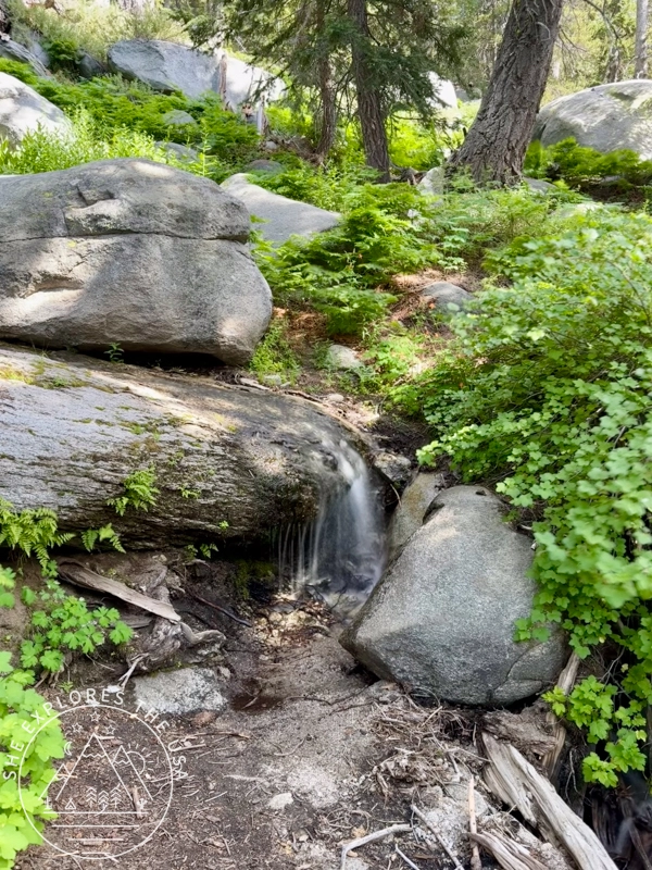
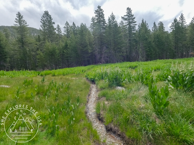
Along the way, the trail was bright with vibrant wildflowers, and several water sources offered welcome refreshment. The first water stop came within the first mile and a half, while the most memorable one, complete with pretty waterfalls, was about 3.5 miles from the trailhead. A few fallen trees added some extra challenge, as you had to climb over them.
Between the PCT section and Little Round Valley, there’s a prickly, overgrown patch that will definitely scratch your legs if you’re wearing shorts!
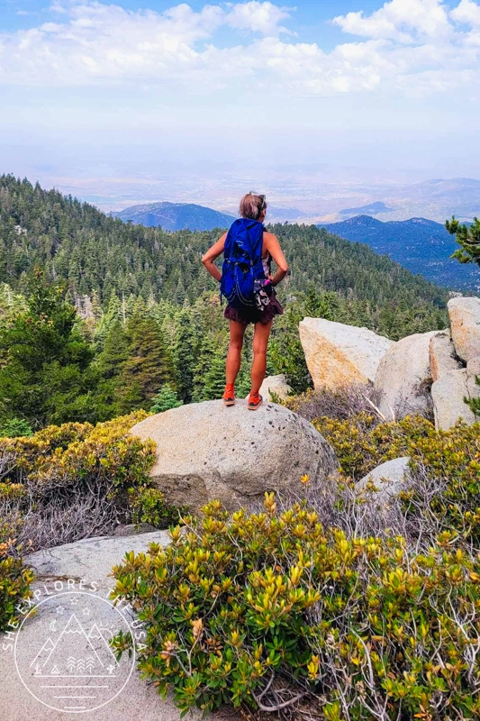
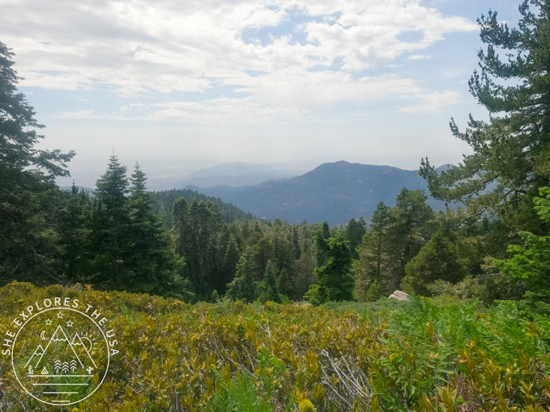
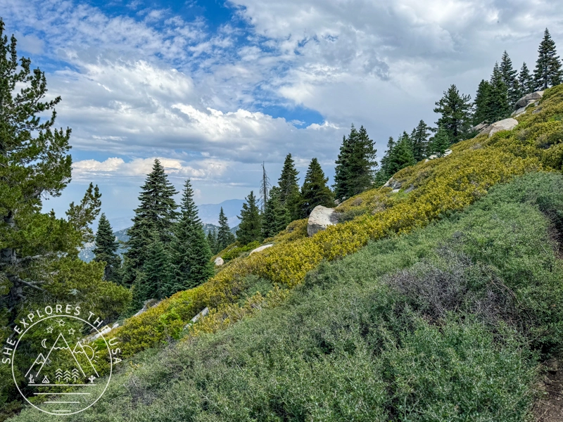
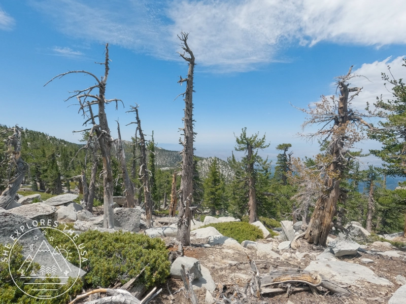
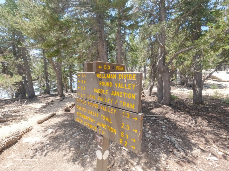
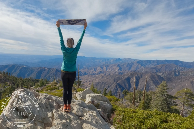
Beyond Little Round Valley campground, the trail climbs steeply with switchbacks leading up to the summit. Though the climb is tough, the sweeping panoramic views along the way make it worth the effort. About 0.3 miles from the summit, you’ll reach Saddle Junction, a busy spot where several trails meet, including those coming from the Palm Springs Tram.
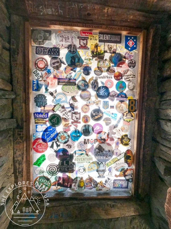
Just a short walk past Saddle Junction, spotting the shelter gave me a much-needed morale boost, it meant the summit was close. Inside, the shelter had two bunk beds, some essential gear, and a unique window made from hiking stickers that looked like stained glass art.


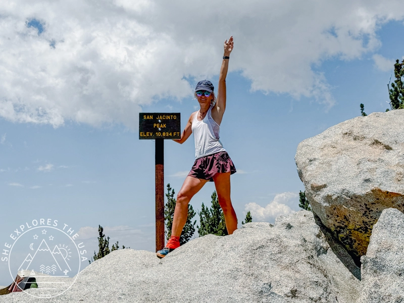
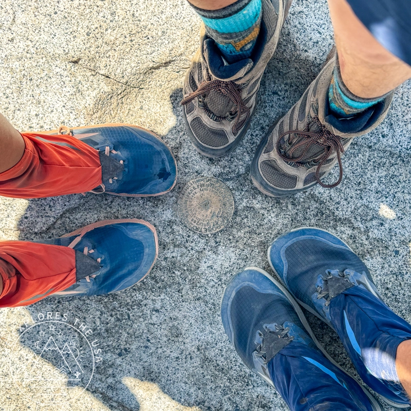
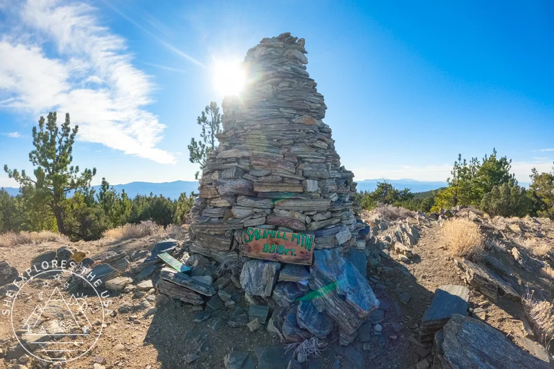
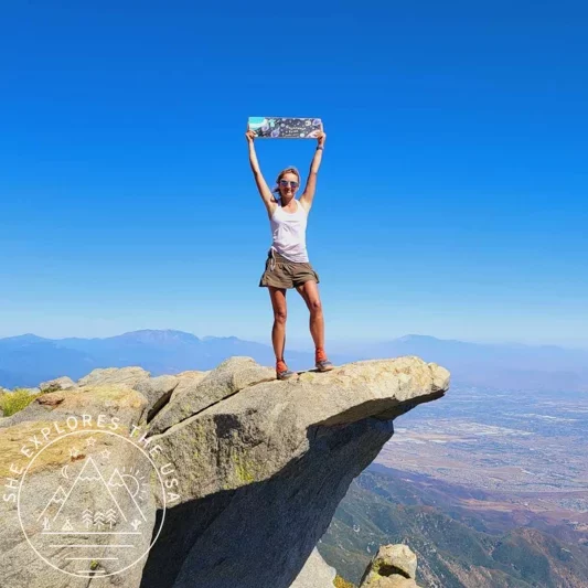
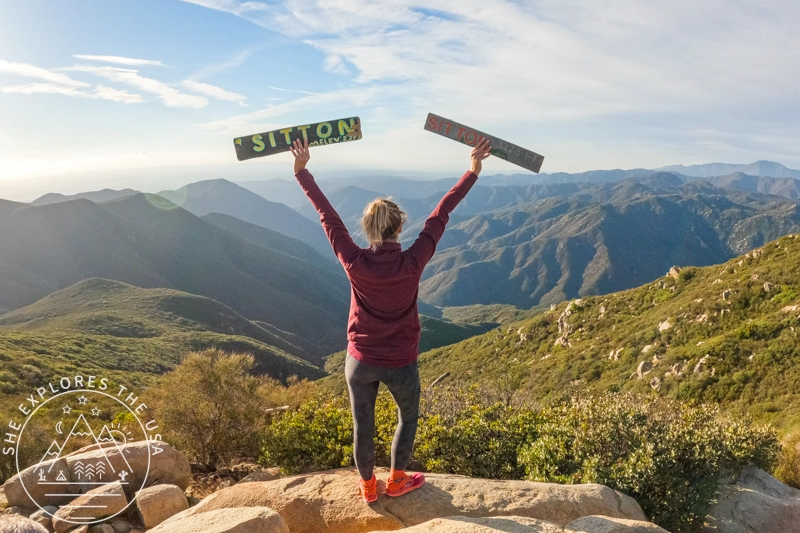
The last part of the hike was a rock scramble that ended at a wooden sign marking the summit. I had hoped to find another famous wooden sign I’d seen in photos, but it was nowhere to be found; it must have been removed or taken.
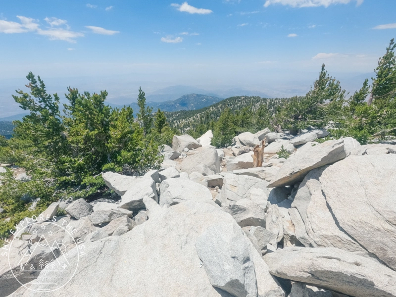
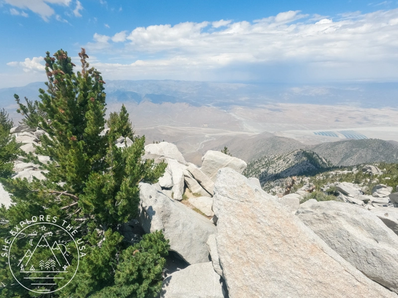
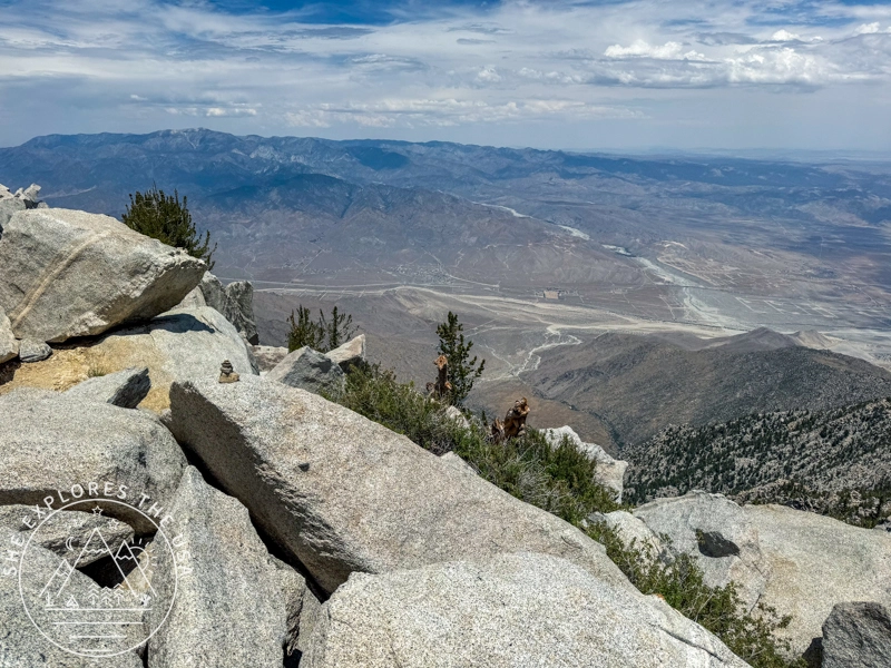
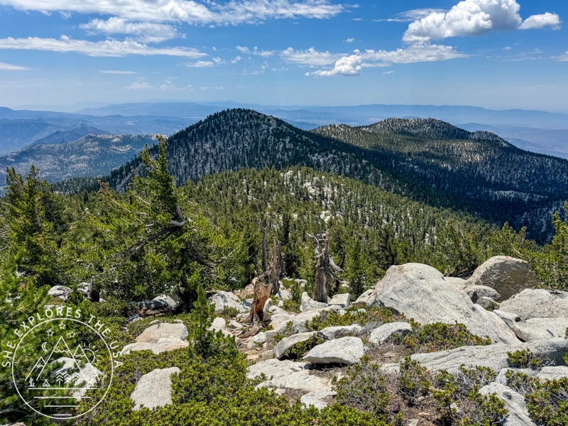
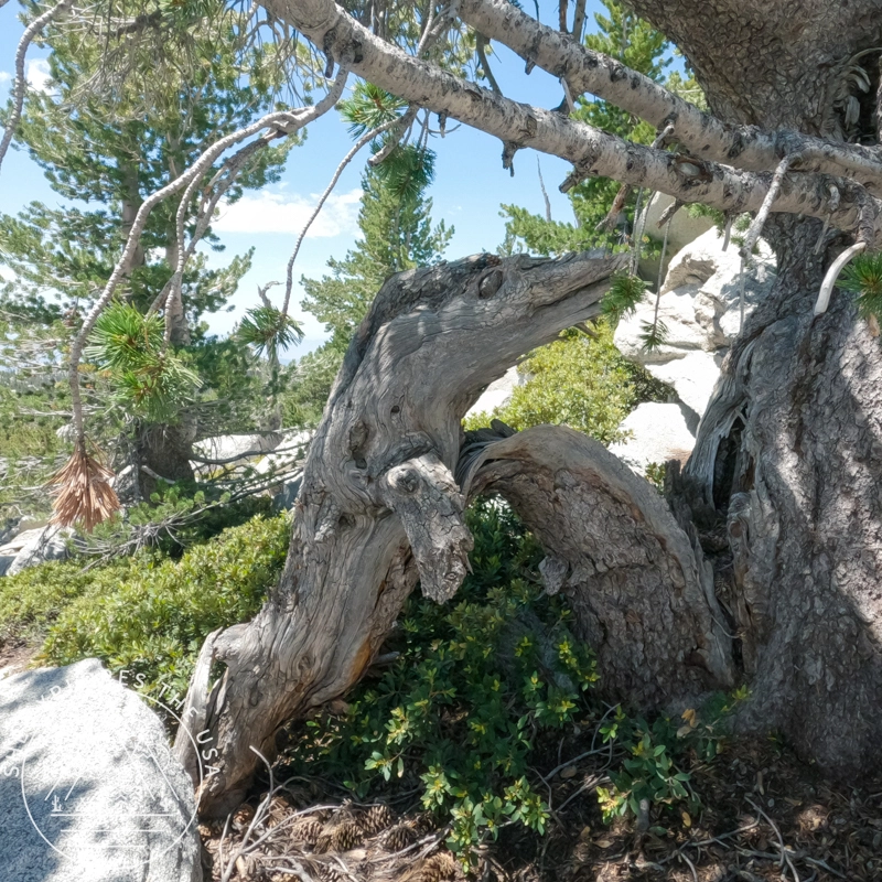
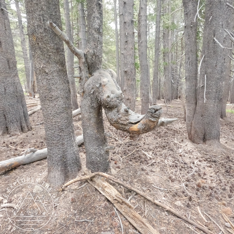
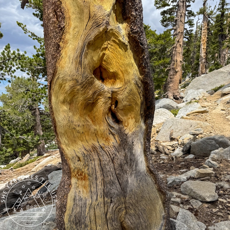
Along the way, the trail revealed some fascinating sights, natural rock formations that almost looked like faces. I’ve included photos below to show what I mean.
Altitude Sickness on San Jacinto: My Experience
Altitude sickness, or acute mountain sickness (AMS), can hit anyone who climbs too fast to high elevations. As someone who hikes and backpacks regularly, I hadn’t experienced it much before this recent San Jacinto hike. Even though I’d been at similar heights before without trouble, this time felt different. I think it was a mix of altitude sickness and heat exhaustion sneaking up on me.
I did start earlier than usual to beat the heat, but I didn’t stick to my normal pre-hike meals. Instead of my usual steak, mashed potatoes, and salad for dinner, followed by avocado toast in the morning, I ate a backpacking meal and oatmeal. Those meals gave me energy, but the change from my usual routine might have affected how my body handled the altitude.
The hike climbed from 6,330 to 10,834 feet, and though we started early, around 6 a.m., the first two miles hit me hard with a steep, relentless climb. My body overheated quickly, even at that hour, and I think that early strain set off everything that followed. Around 9,000 feet, a mild headache began. Since I often get headaches and migraines, I didn’t think much of it at first. I kept hydrating and snacking during breaks, but as I pushed higher, the symptoms worsened, signs of altitude sickness and possibly early heat exhaustion taking hold.
My Symptoms
- Headache: It started mildly but gradually intensified, becoming severe during breaks.
- Vision Issues: My peripheral vision narrowed, causing a “tunnel vision” effect.
- Physical Slowdown: My body felt like it was moving in slow motion.
- Loss of Appetite: Amongst many other snacks, I had banana slices, which I knew would help, but I couldn’t eat them
Reflecting on the Causes
Altitude sickness occurs due to reduced oxygen levels at higher elevations, but my symptoms were likely worsened by heat exhaustion and the change in my typical meal routine. The combination of physical exertion, less familiar fuel, and altitude might have contributed to the fatigue and dehydration I experienced, intensifying the effects of altitude sickness.
Understanding Altitude Sickness and Heat Exhaustion
Altitude sickness usually develops within 6 to 24 hours of reaching a high altitude and can range from mild to severe. Common symptoms include headache, nausea, fatigue, dizziness, and loss of appetite. In severe cases, High-Altitude Pulmonary Edema (HAPE) and High-Altitude Cerebral Edema (HACE) can develop, which require immediate medical attention.
Heat exhaustion, on the other hand, occurs when the body overheats, especially during physical activity in warm conditions. Symptoms like headache, dizziness, weakness, and nausea overlap with those of altitude sickness, making it difficult to distinguish between the two. Looking back, I realize that both altitude and heat played a role in how I felt during the hike.
Coping and Recovery
Despite these challenges, I was determined to continue with the support of my friends. This experience taught me the importance of recognizing and respecting the signs of altitude sickness. I’m incredibly grateful for my friends’ patience and support during this ordeal. Moving forward, here are some of the items I bought to test on my next high-altitude hike in a couple of weeks before I resort to prescribed meds:


Prevention of Altitude Sickness
Preventing altitude sickness involves gradual acclimatization, proper preparation, and awareness of your body’s limits. Key strategies include:
- Gradual Ascent: Ascend slowly to allow your body time to adjust.
- Stay Hydrated: Drink plenty of water and avoid excessive alcohol and caffeine.
- Eat Well: Maintain a balanced diet with sufficient carbohydrates.
- Avoid Overexertion: Take it easy during the first few days at high altitude.
- Medication: Consider taking acetazolamide (Diamox) before and during your ascent.
- Recognize Symptoms: Be aware of the symptoms and descend if necessary.
Best Snacks for Altitude Sickness & High-Elevation Hikes
When preparing to combat Acute Mountain Sickness (AMS) during a hike, it’s crucial to pack foods that are both nutritious and easy to carry. Firstly, opt for potassium-rich foods like bananas, including dried bananas, as they help regulate fluid balance and reduce the risk of dehydration at higher altitudes. Additionally, dried fruits such as dates are lightweight and provide quick energy. Nuts and granola offer sustained energy through healthy fats and carbohydrates. For a treat that also benefits your health, dark chocolate provides antioxidants that support overall well-being. These packable options ensure you’re adequately fueled and hydrated, helping to mitigate the effects of AMS during your hike.
Relive my San Jacinto Peak Hike
Check out my San Jacinto Peak hike on Relive! It’s a fantastic platform for adventure lovers to capture and share outdoor experiences like never before. With Relive, you can create custom videos that vividly depict your journeys, turning memories into captivating stories for sharing. Share the beauty of your adventures and inspire others to explore nature through Relive’s immersive storytelling.
Hiking San Jacinto via Marion Mountain Trail FAQ
Do I need a permit for the Marion Mountain Trail?
Yes. A free wilderness permit is required for day hiking. You can get one at the Idyllwild Ranger Station or Stone Creek Campground.
What pass is required to park?
You’ll need a San Bernardino Adventure Pass or an Interagency Annual Pass. Display it on your dashboard.
How long is the hike to San Jacinto Peak via Marion Mountain Trail?
Roughly 13.2 miles round trip with about 4,500 feet of elevation gain.
Is this hike hard?
Yes. It’s considered strenuous due to the steep grade and elevation gain. The first two miles are especially tough.
Can I camp at Marion Mountain Campground?
Yes! It’s walking distance from the trailhead and a great way to acclimate before your hike.
Is there water along the trail?
Yes, seasonal streams and waterfalls, especially around mile 1.5 and mile 3.5, but always bring a filter or treatment method.
What’s the best time of year to do this hike?
Late spring through early fall is ideal. Expect snow and ice at higher elevations outside that window.
Final Thoughts: Hiking San Jacinto via Marion Mountain Trail

Post originally published on July 15, 2024, and last updated on March 12, 2026.