Hiking San Bernardino Peak via the Angelus Oaks Trail
DISCLOSURE: This post may contain affiliate links. If you purchase after clicking one of my links, I may earn a small commission at no extra cost to you. As an Amazon Associate, I earn from qualifying purchases. For more information, see my disclaimer.
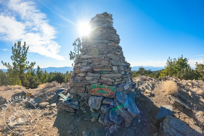
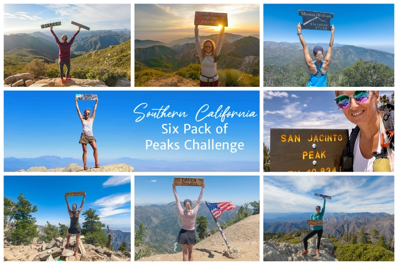
San Bernardino Peak is one of the original hikes in the SoCal Six Pack of Peaks challenge, and the Angelus Oaks Trail is one of the most popular routes to reach its 10,649-foot summit. This challenging climb starts at around 5,930 feet and takes you through forested switchbacks, wildfire-scarred terrain, and expansive mountain views, including Big Bear Lake. In this post, I’m sharing everything you need to know about hiking San Bernardino Peak via the Angelus Oaks Trail, from parking and permits to gear tips and how I managed altitude sickness on the way up.
50% Off AllTrails Plus
Planning hikes, downloading maps, getting a little more off-grid without losing your way… this is the upgrade that actually gets used.
San Bernardino Peak Hike Overview (Angelus Oaks Route)
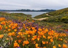
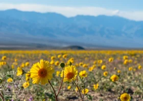
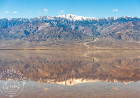
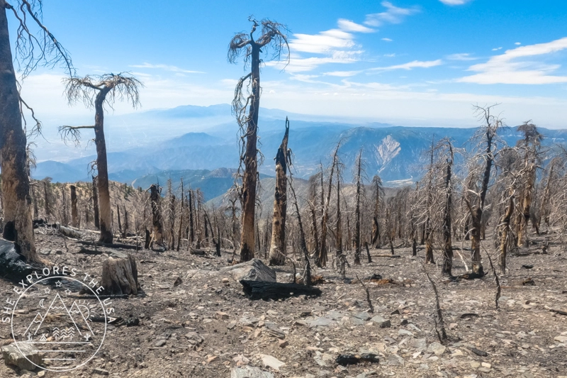
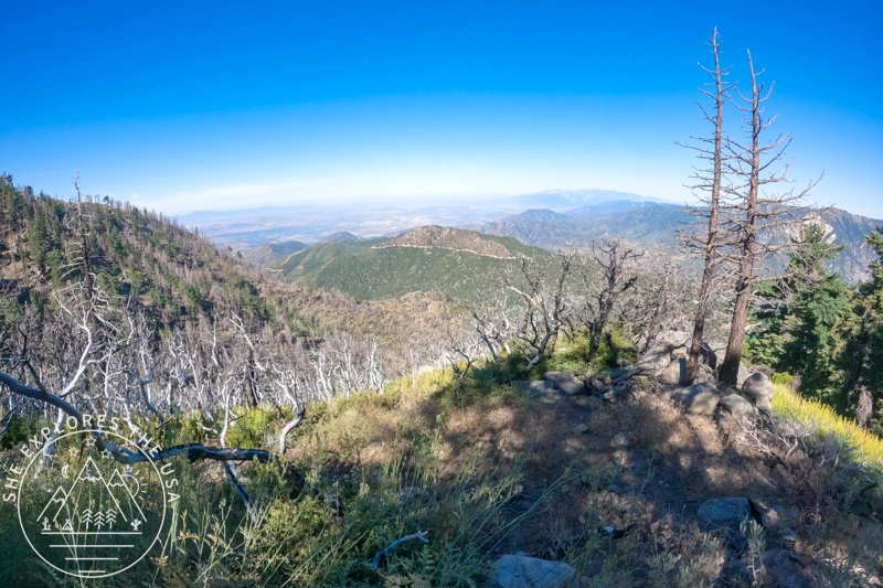
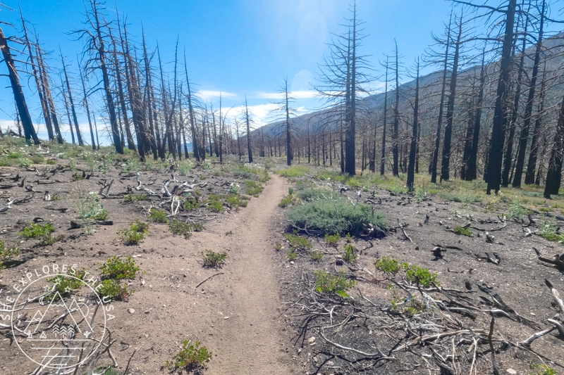
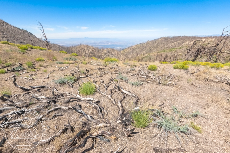
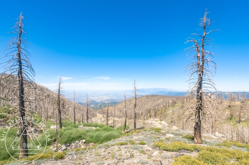
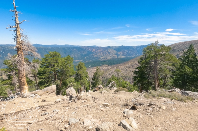
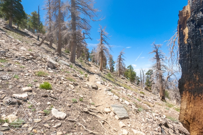
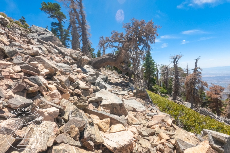
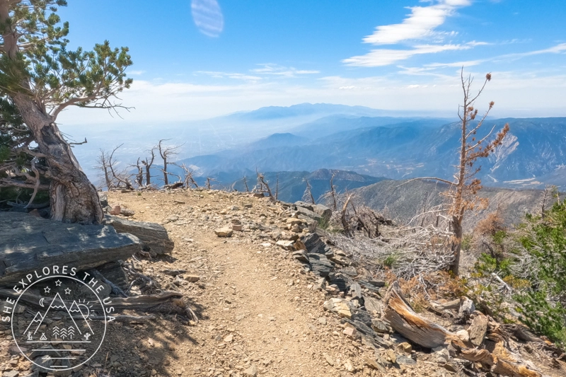
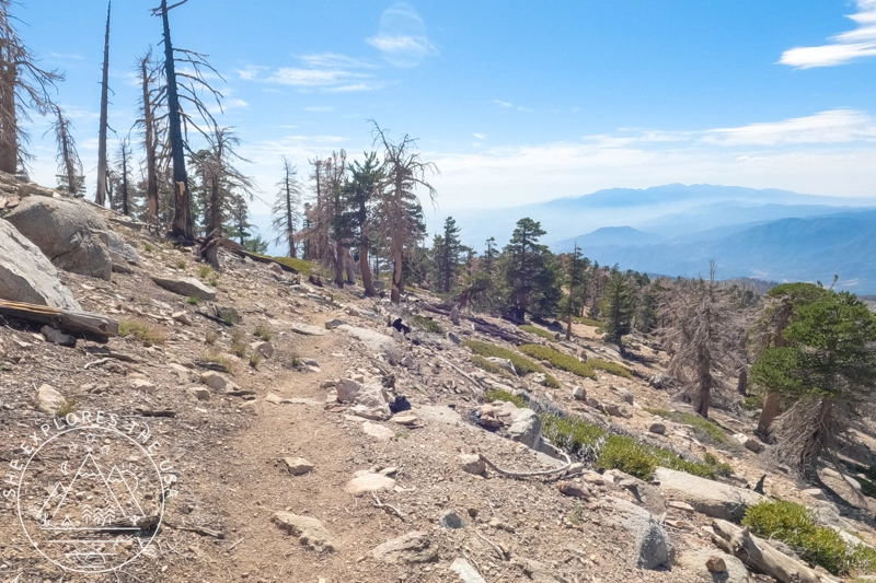
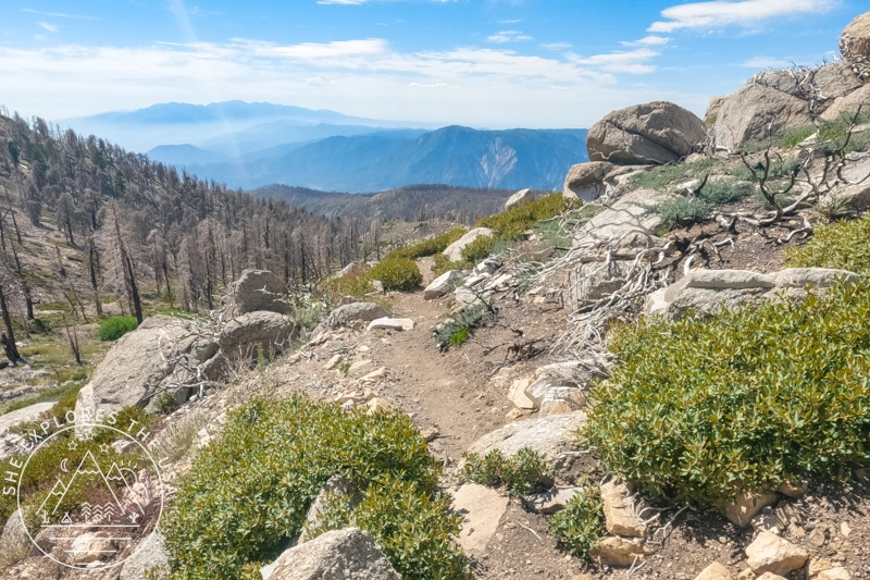
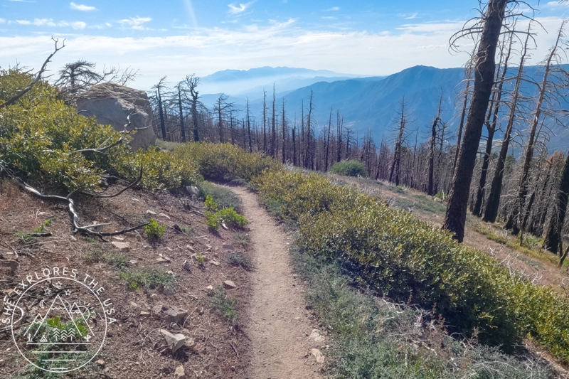
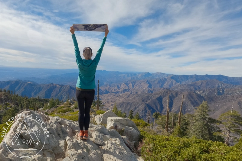
Hiking San Bernardino Peak from Angelus Oaks is a challenging yet rewarding adventure that takes you through a landscape marked by nature’s resilience. The sand-to-snow trail begins in the serene mountain community of Angelus Oaks and steadily ascends through various ecosystems, offering breathtaking views of the San Bernardino Mountains. Along the way, you’ll traverse an area impacted by the 2020 El Dorado Fire, where the charred remnants of trees stand as reminders of the wildfire that swept through this region. Despite the scars, the landscape is slowly recovering, with new growth emerging. The strenuous climb to the 10,649-foot summit is well worth the effort, as you’re rewarded with expansive views of Southern California from the top.
San Bernardino Peak Trail Summary
- 📍 Trailhead: Angelus Oaks
- 🥾 Distance: ~16.5 miles roundtrip
- ⛰ Elevation Gain: 4,600+ ft
- ⏱ Duration: 8–10 hours
- 🧾 Permits: Adventure Pass + San Gorgonio Wilderness Permit
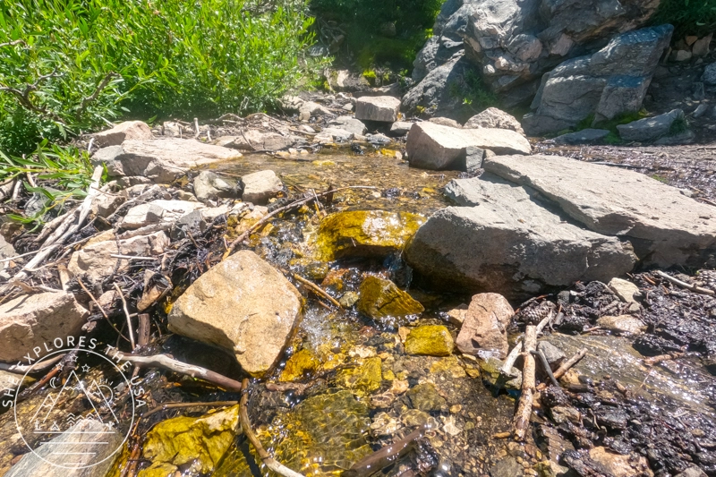
- 💧 Water Sources: Seasonal stream ~mile 6
- ⚠️ Difficulty: Strenuous
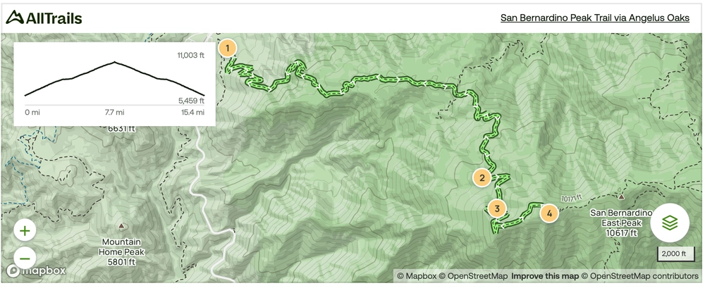
San Bernardino Peak Trail Map
Click the map to view the full route on AllTrails.
🥾 Plan Smarter Hikes with AllTrails
AllTrails is my go-to for trip planning, from checking trail reviews to downloading maps, navigating from my phone, and sending routes straight to my Garmin 67i. Offline maps, alerts, and AI route planning make upgrading to Plus & Peak worth it!
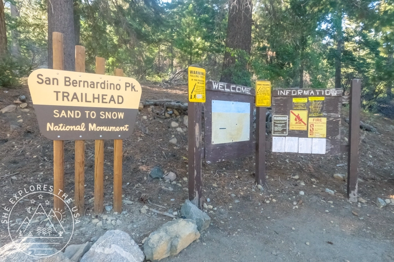
Parking at Angelus Oaks Trailhead
Reaching the trailhead may be your first challenge that day, requiring driving a short distance on a dirt road. My car tends to identify as an off-road vehicle, but I drive a regular FWD. I took it slowly (at 5mph!) and had no issues. There was a low-profile Tesla at the trailhead, so whatever you drive, you’ll most likely be fine. But beware that parking is limited. I was lucky to grab the last spot on my hiking day. Some backpackers were heading down as I hiked the first two miles, so if you’re patient, you might be able to snag a spot when they leave.
Angelus Oaks elevation is 5,930 feet, so if you’re sensitive to altitude, it’s worth taking a few minutes to acclimate before starting your climb.
Permits to hike San Bernardino Peak
Two permits are required to hike the San Bernardino Peak Trail via Angelus Oaks.
- A Southern California Adventure Pass is required to be displayed in your vehicle at the trailhead.
- A San Gorgonio Wilderness permit is required to hike the area (both day hikes and overnight trips!) This permit is super easy and convenient to obtain online.

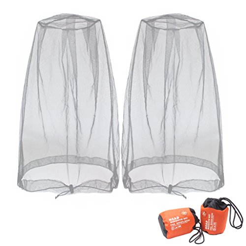
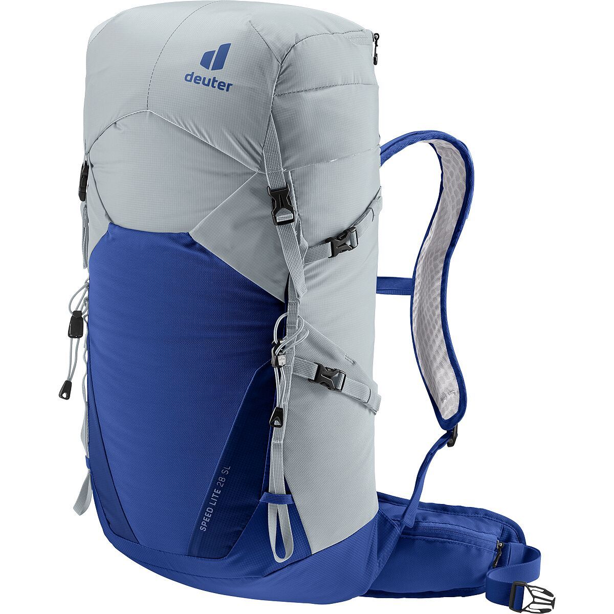
Recommended Gear for San Bernardino Peak Hike
In conjunction with the famous ten essentials, explore the following gear recommendations. For even more of my favorite trail-tested gear, check out my curated outdoor gear shop.


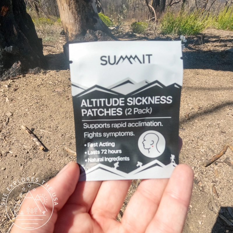
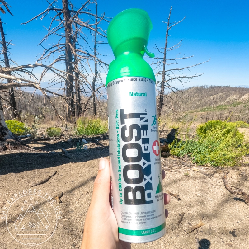
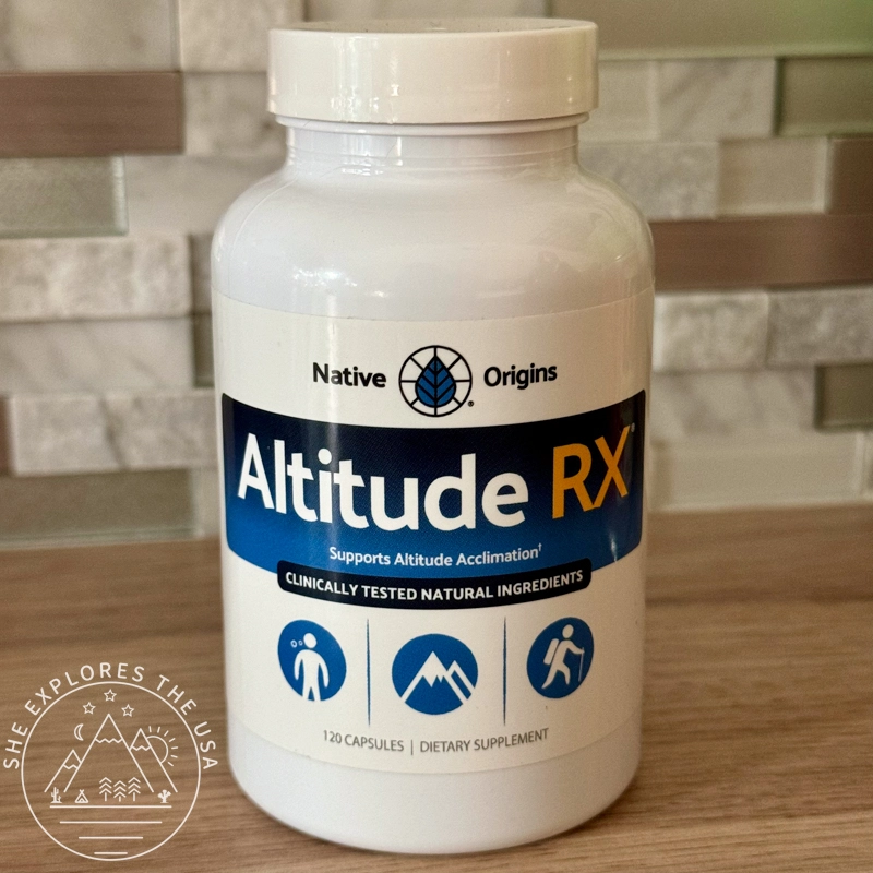
How I Prevented Altitude Sickness on this Hike
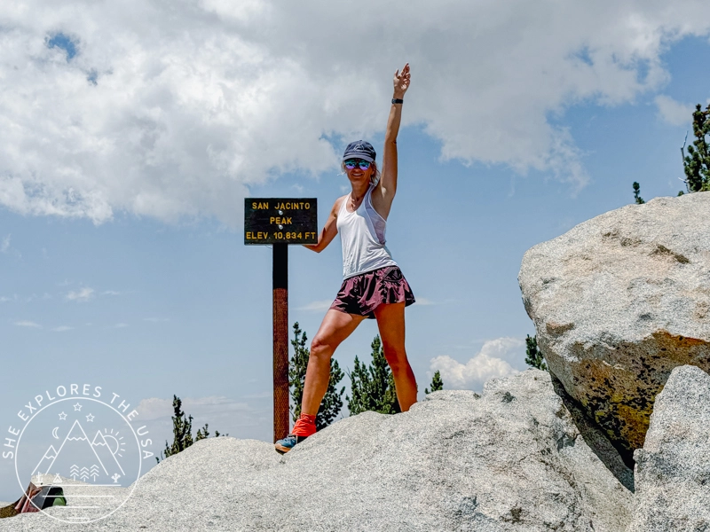
I tried these products to prevent altitude sickness on this hike, and I felt significantly better compared to my San Jacinto hike, so I’d say they worked really well!


- Altitude RX is a natural supplement you take 24 hours before ascending to higher elevations. The dosage is two to four pills a day.
- Altitude Sickness Prevention Patches are applied to the body to help mitigate symptoms. I followed the instructions and placed one above my belly button and one behind my ear. The belly patch didn’t stay on all day due to sweat, so next time I’ll place both behind my ears. The patches have a spicy, ginger-like scent that you might notice at times. It didn’t bother me, but it could be strong for some people.
- Boost Oxygen is an oxygen canister you breathe from, helping you recover faster. It’s become my new best friend, I’m obsessed with it!
- Acli-Mate Mountain Sport Drink supports high-altitude acclimatization, provides hydration and steady energy, made with electrolytes, B vitamins, and adaptogens, with just 6g of sugar per serving.
Trail Experience: San Bernardino Peak via Angelus Oaks
I arrived at the trailhead at 7:50 am, just in time to snag the last parking spot, a lucky start to the day. By 8:10 am, I was on the trail, ready to conquer the mountain.
Ascent
The hike began with a series of long switchbacks that lasted for the first two miles or so. As I ascended, I took a break at around 1.95 miles, finding a perfect spot on some shaded boulders. The view was already breathtaking, and I knew I was in for a treat. Just a little further up, at 2.14 miles, I found another boulder with stunning urban views, an even better place to pause and take it all in.
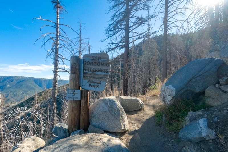
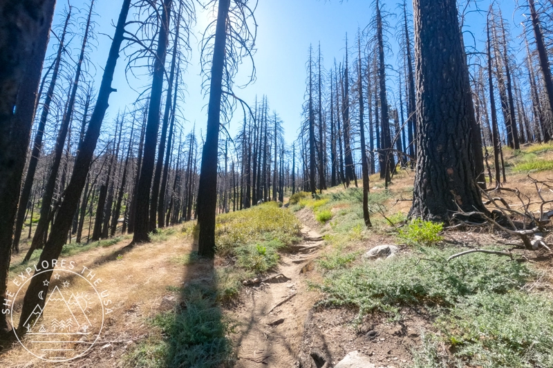
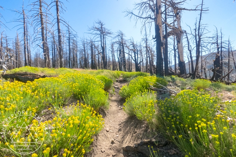
After finishing the switchbacks, I entered the eerie, burnt area. The landscape is both haunting and beautiful, a contrast that’s difficult to put into words. The trail is still ashy at times, and it became a bit prickly and overgrown around the 3-mile mark. But nothing compared to the Marion Mountain trail to San Jacinto.
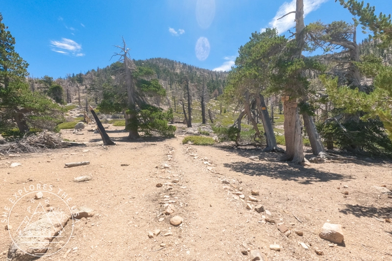
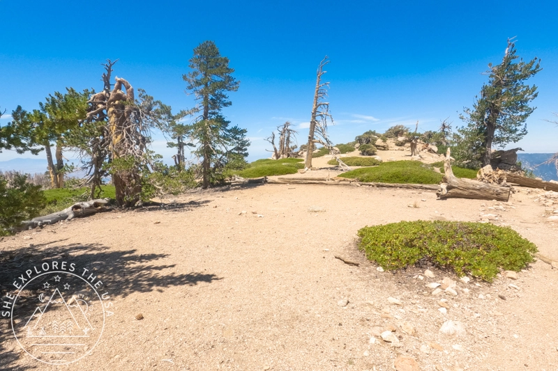
One of the highlights was reaching a lovely flat section around mile 4. Here, I took a second break near a rusted wheelbarrow and a log that offered a comfortable seat. The trail continued to surprise me with a bench around mile 5, and by mile 6, I stumbled upon a water stream. This was a game-changer. I soaked my cooling towel, which provided much-needed relief from the heat.
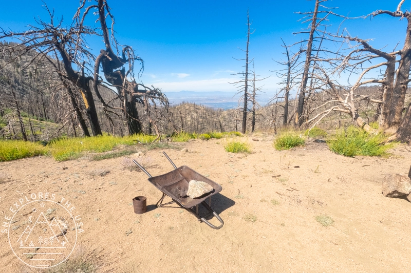
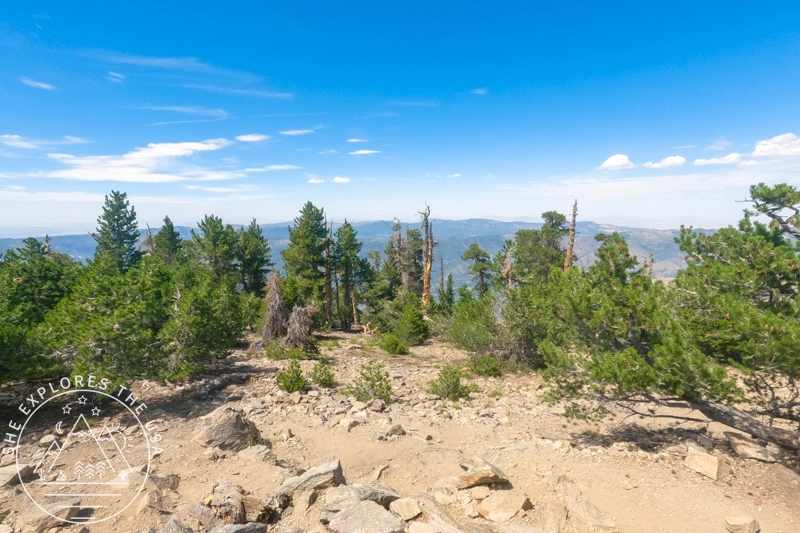
The photos show Limber Pine Bench Camp, a flat, inviting backcountry spot that likely offers gorgeous sunset views. Perfect for an overnight backpacking stay!
As I approached the 9,000-foot elevation mark on the San Bernardino Peak trail, I started to struggle a bit with my breathing. The altitude was getting to me, and I had to stop every quarter mile to catch my breath. Luckily, I had my boost oxygen canister with me, and taking a few puffs helped. I was able to recover faster and keep pushing forward.
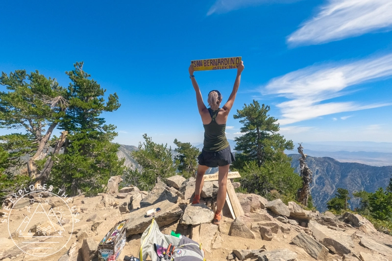
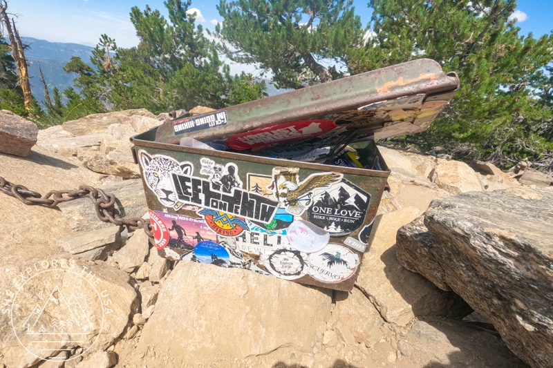
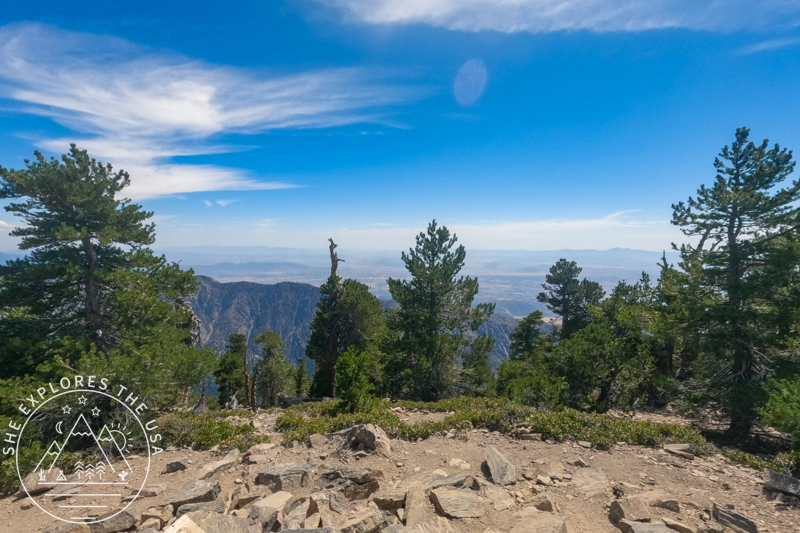
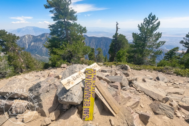
Summit
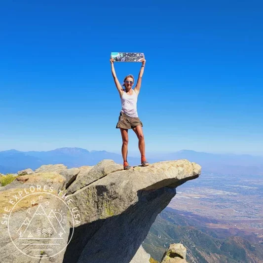
Finally, at 2:22 pm, I reached the San Bernardino Peak summit! The best part? I had it all to myself. I enjoyed a peaceful lunch, soaking in the views, and started my descent at around 3:00 pm. As I began to head down, the clouds started rolling in, and the wind picked up, urging me to move quickly.

Descent
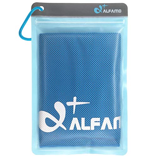
The weather had been pretty hot throughout the hike (~80F), so I used my sun umbrella. However, the wind made it tricky to manage, so it became safer to rely on my cooling towel instead. The towel worked wonders after soaking it in the stream, keeping me cool for a good three miles. Unfortunately, it dried up with three miles still to go, and I didn’t want to use my drinking water to wet it again. Luckily, the last two miles were partially shaded, which made the final stretch a lot more bearable.
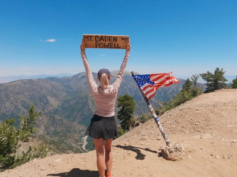
I returned to the trailhead at 5:40 pm, completing my hike with a healthy mix of fatigue and exhilaration. This was my sixth hike in the SoCal Six Pack of Peaks challenge, and I couldn’t be more proud of my achievement. Hiking San Bernardino Peak was an epic adventure, and the sense of accomplishment I felt at the end made every moment worth it.
Relive my San Bernardino Peak Hike
Check out my San Bernardino Peak hike on Relive! With Relive, you can create custom videos that vividly depict your journeys, turning memories into captivating stories for sharing. Share the beauty of your adventures and inspire others to explore nature through Relive’s immersive storytelling. Join this vibrant community and turn every adventure into a captivating visual story. Embrace the adventure and seize the chance to immortalize it with Relive!
FAQ About Hiking San Bernardino Peak via Angelus Oaks Trail
Do I need a permit to hike San Bernardino Peak?
Yes, you need two permits. A Southern California Adventure Pass must be displayed in your vehicle at the trailhead. You also need a San Gorgonio Wilderness permit for day hikes or overnight trips. Both are easy to get online.
Where do I park for the Angelus Oaks Trailhead?
Parking is limited and located on a short dirt road. Most vehicles, including regular front-wheel drives and even low-profile cars like Teslas, can make it with slow, careful driving. Arrive early to secure a spot or wait for hikers to return.
How long is the San Bernardino Peak hike via Angelus Oaks?
The round-trip distance is about 16.5 miles with over 4,600 feet of elevation gain. Expect the hike to take between 8 and 10 hours, depending on pace and breaks.
What gear should I bring for this hike?
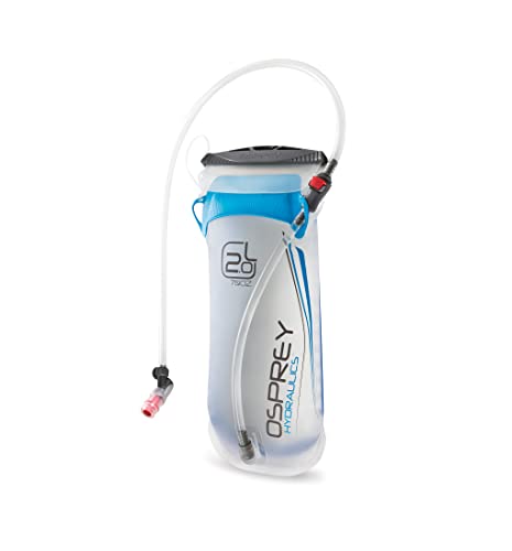
Besides the ten essentials, I recommend hydration tools like an Osprey 3L reservoir, electrolyte powders, sun protection like a sun hoodie and hat, cooling towels, trekking poles, and snacks for energy. Altitude sickness prevention products can also help.
Is the hike difficult?
Yes, it’s considered strenuous due to the distance and elevation gain. The trail includes steep switchbacks, some overgrown and ashy sections from past wildfires, and altitude challenges.
What is the elevation at the trailhead?
Angelus Oaks elevation is 5,930 feet. It helps to take a few minutes to acclimate before you start climbing, especially if you’re sensitive to altitude.
Are there water sources on the trail?
There is a seasonal stream around mile 6 where you can refill water and cool down. Always treat or filter water before drinking.
Final Thoughts on the San Bernardino Peak Hike
Hiking San Bernardino Peak via the Angelus Oaks Trail is no small feat, but the rewards are more than worth the effort. From quiet stretches of forest to the surreal beauty of the burn area, and of course, those summit views, it’s a trail that leaves an impression. With the right gear and a little prep for altitude, this hike is totally doable, even if it pushes you. If you’ve been thinking about tackling this peak, I hope this post gives you the confidence to go for it. Drop any questions or share your own experience in the comments. I’d love to hear how it went for you out there.
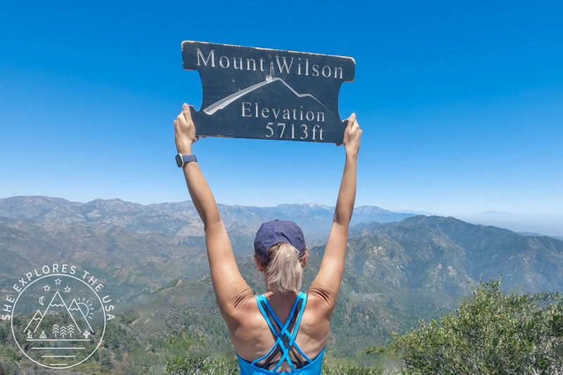
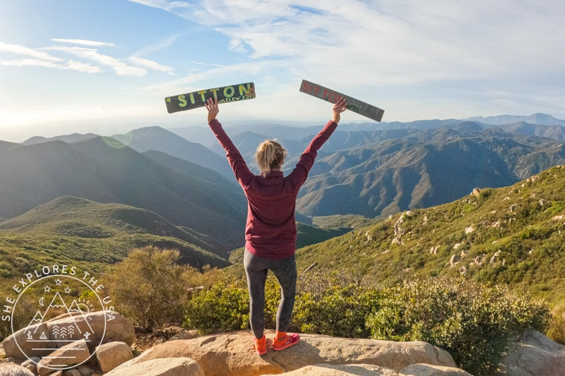
And if you’re working through the SoCal Six Pack of Peaks, check out my full guide with tips and reports on the other hikes I’ve completed as part of it.

Post originally published on August 9, 2024, and last updated on April 4, 2026.