Ontario Peak Hike Guide: Trail Tips & Six Pack Challenge
DISCLOSURE: This post may contain affiliate links. If you purchase after clicking one of my links, I may earn a small commission at no extra cost to you. As an Amazon Associate, I earn from qualifying purchases. For more information, see my disclaimer.
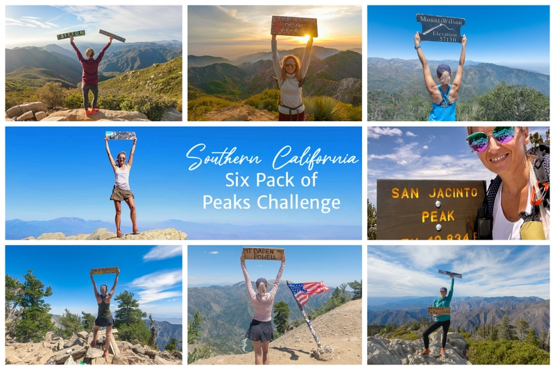
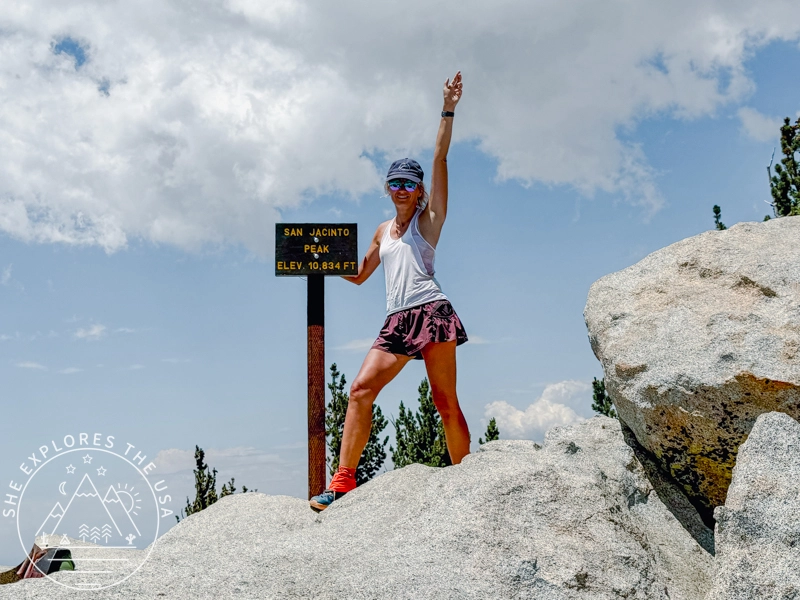
Ontario Peak is a standout summit in the San Gabriel Mountains, offering panoramic views, alpine vibes, and a solid challenge with nearly 3,800 feet of gain. As part of the Southern California Six Pack of Peaks Challenge, this 12.5-mile out-and-back hike is accessible from Icehouse Canyon near Mount Baldy. In this post, you’ll find trail info, recent conditions, gear tips, and my full trip report to help you prepare for your own Ontario Peak adventure.
50% Off AllTrails Plus
Planning hikes, downloading maps, getting a little more off-grid without losing your way… this is the upgrade that actually gets used.
Trail Overview: Icehouse Canyon to Ontario Peak
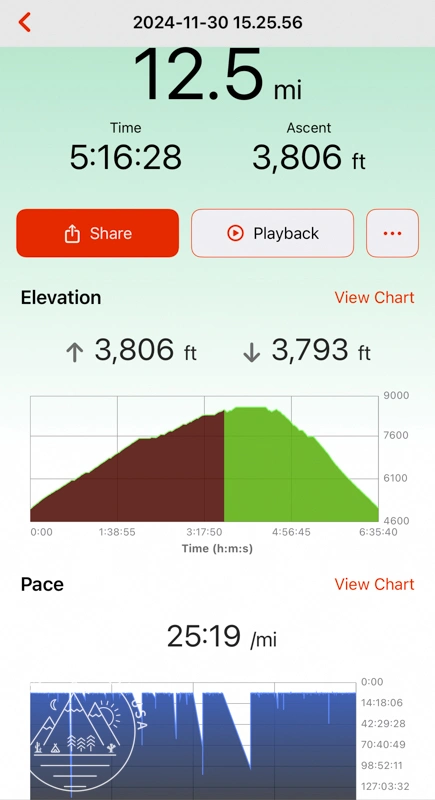
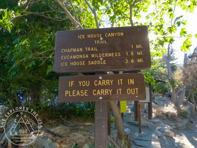
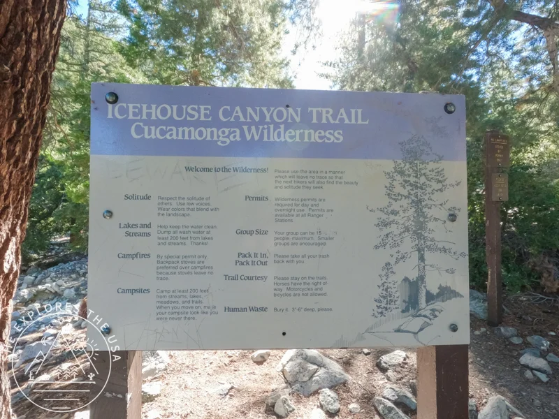
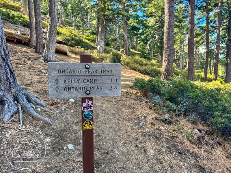
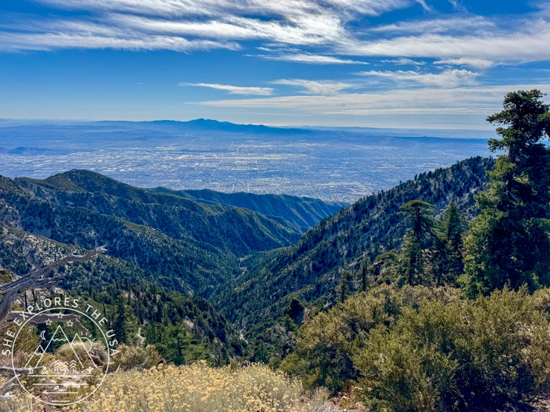
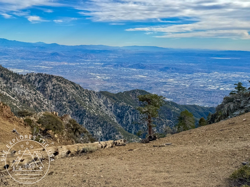
Hiking to Ontario Peak via Ice House Canyon is a rewarding adventure that spans 12.5 miles round-trip, with an elevation gain of 3,806 feet. This out-and-back trail is popular among hikers, backpackers, and trail runners near Mount Baldy, California. The trail winds through the picturesque Ice House Canyon, offering stunning views and rugged terrain. Given the trail’s popularity, you’re likely to encounter fellow outdoor enthusiasts along the way. The best time to tackle this route is between May and November, when conditions are ideal for exploring.
Trail Snapshot: Ontario Peak via Icehouse Canyon
- Trailhead: Icehouse Canyon (near Mt. Baldy, CA)
- Distance: 12.5 miles round trip
- Elevation Gain: 3,806 feet
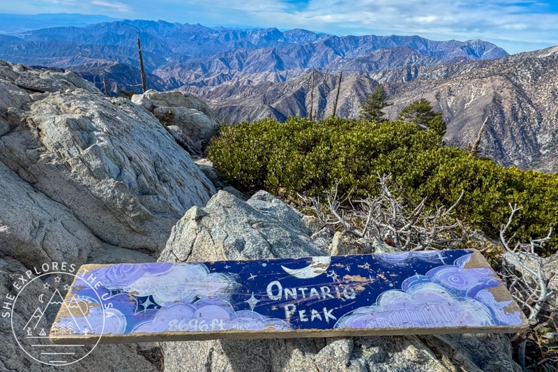
- Summit Elevation: 8,696 feet
- Route Type: Out-and-back
- Best Time to Hike: May to November
- Permits: Adventure Pass required for parking
- Dog-friendly: Yes, on leash
- Known For: Sweeping views, pine forest, part of Six Pack of Peaks
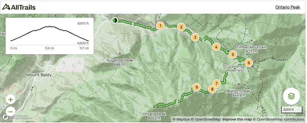
Icehouse Canyon to Ontario Peak Trail Map
Click the map to view the full route on AllTrails.
🥾 Plan Smarter Hikes with AllTrails
AllTrails is my go-to for trip planning, from checking trail reviews to downloading maps, navigating from my phone, and sending routes straight to my Garmin 67i. Offline maps, alerts, and AI route planning make upgrading to Plus & Peak worth it!
Where to Park for This Hike
There’s plenty of parking at the trailhead, but it fills up quickly on weekends because this is the same parking lot for Ontario Peak and Cucamonga Peak, both part of the Six Pack of Peaks challenge, as well as the 3 T’s hike (Timber, Telegraph, and Thunder mountains). To secure a spot, aim to arrive early, before 6:30 am, or mid-morning, when trail runners start leaving. I arrived at 8:30 am on a Saturday and had to park further down Mt. Baldy Road.
Also worth noting is that toilets are available at the trailhead!
Permits & Adventure Pass Info
Only one permit is needed for the Icehouse Canyon to Ontario Peak Trail, solely for parking at the trailhead.
- A Southern California Adventure Pass is required to be displayed in your vehicle at the trailhead.
However, if you plan on also hiking the Cucamonga trail, then you’ll need:
- A San Gorgonio Wilderness permit is required to hike the Cucamonga area (both day hikes and overnight trips!) This permit is super easy and convenient to obtain online.

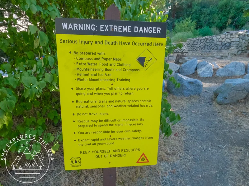
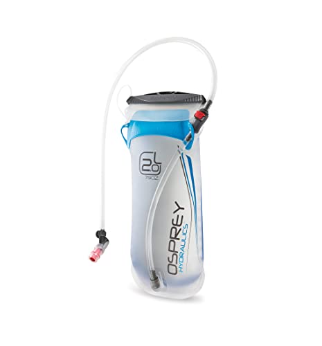
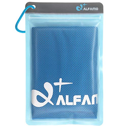
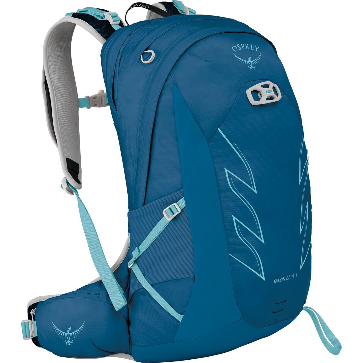
Essential Gear for Ontario Peak Hike & Six Pack Challenge
In conjunction with the famous ten essentials, explore the following gear recommendations, which are very useful for the Ontario Peak hike, but also the other hikes as part of the Six Pack of Peaks challenge series.
You can also explore my curated outdoor gear shop for the rest of my favorite hiking and backpacking finds.


Ontario Peak Hike Trip Report & Personal Experience
I hiked this trail alone on Saturday 11/30/24. I left San Diego at 6.40 AM and arrived at the trailhead around 8:30 AM, starting my hike by 8:50 am. There was no snow or ice. I had brought my microspikes and trekking poles after reading a recent review on AllTrails that mentioned icy conditions, but by the time I hit the trail, the conditions were regular, and I didn’t need to use either.
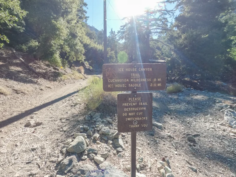
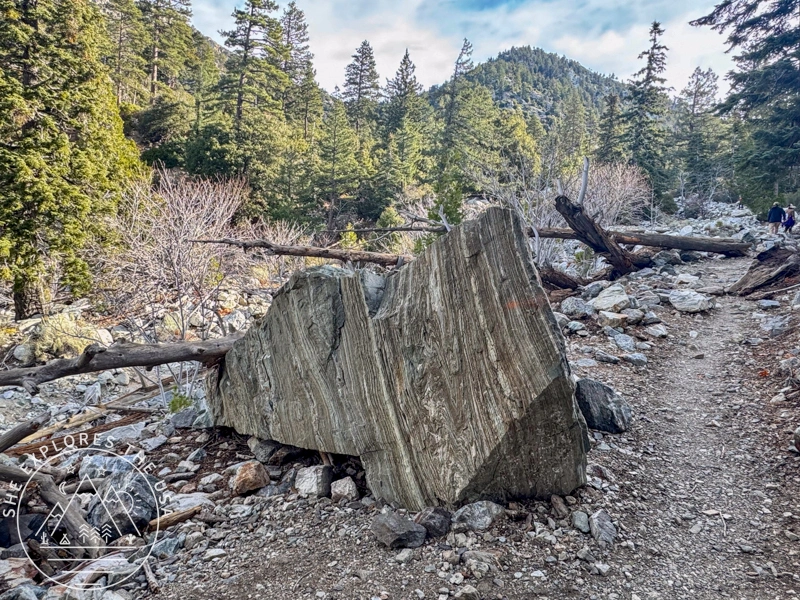
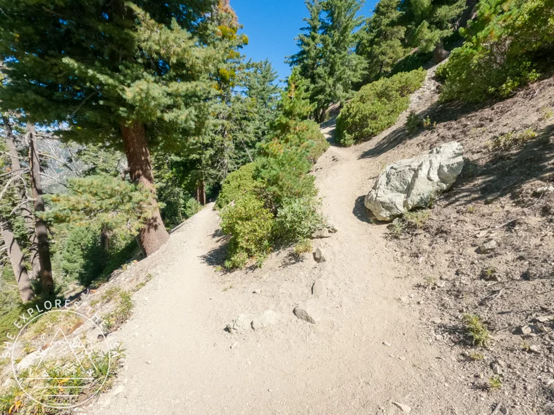
The first 3.5 miles to Icehouse Saddle were rocky and filled with switchbacks. I felt much better on this hike than when tackling the same section to reach Cucamonga Peak in August. This was surprising because I hadn’t done much hiking since then. However, this was also my first hike using an inhaler for my breathing. I took it about 30 minutes before starting, and it made a noticeable difference, I breathed easier and felt significantly better compared to my Cucamonga hike. Plus, I had a full 7 hours of sleep before this hike, unlike the mere 2 hours I got before Cucamonga. Rest makes a big difference when hiking! I
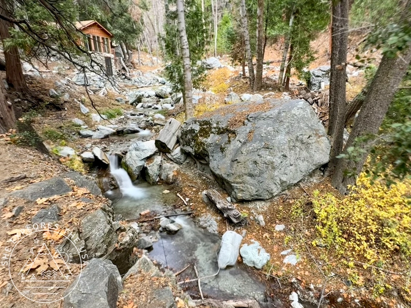
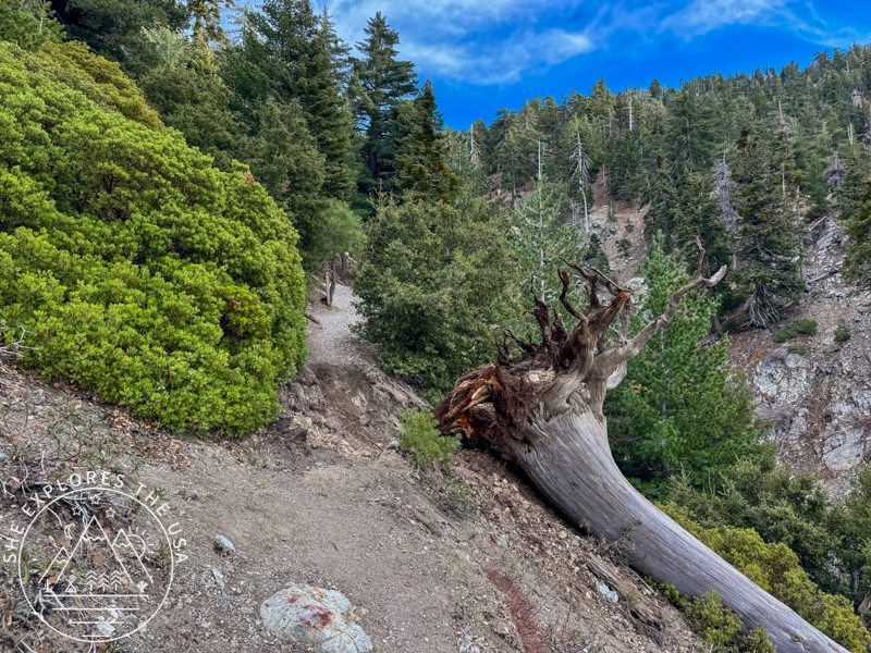
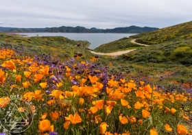
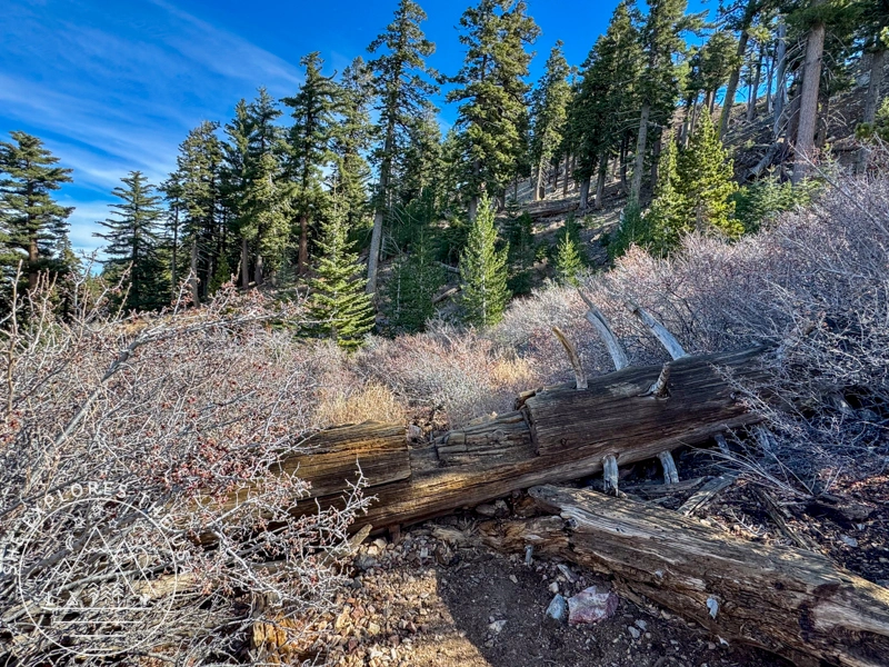
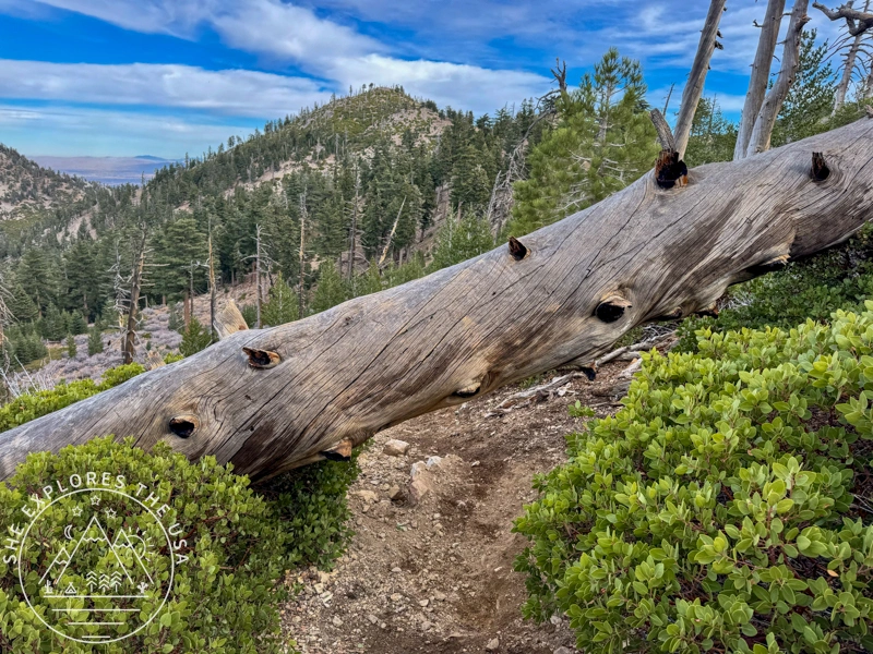
Having hiked this in summer previously, the fall color provided a lovely new outlook on the area! Close to the 3-mile mark, a tree that had been leaning for the longest time has finally fallen over recently! I reached Icehouse Saddle in just under 2 hours, where I sat on a log for a snack break at the saddle for a while, before pushing on towards the Ontario Peak trail.
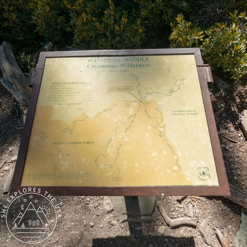
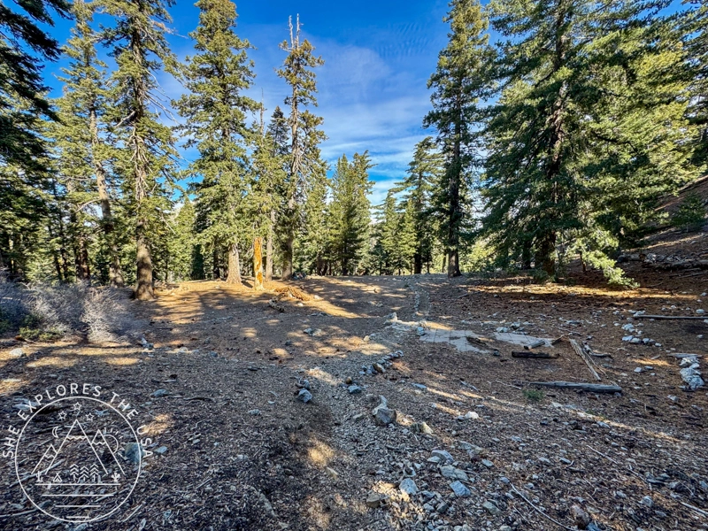
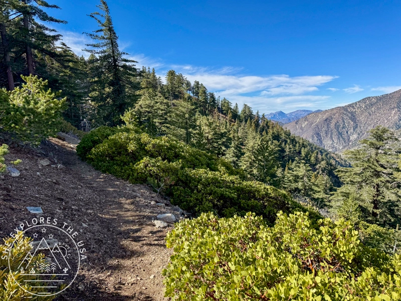
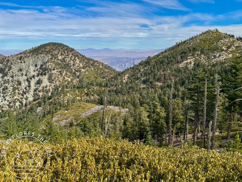
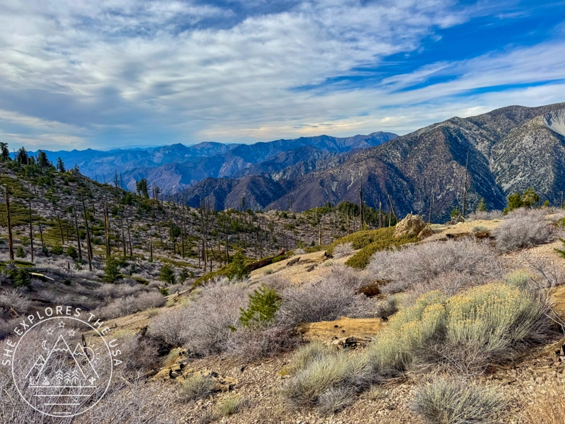
The 2.8 miles from Icehouse Saddle towards Ontario Peak are relatively easy. ! A few fallen trees require you to crawl under or climb over them, but they add to the fun. There is a nice, flat-ish section for about half a mile, It then gets steep in some sections, but it then gets easier again about half a mile from the Peak. Unlike Cucamonga, there are steep drop-offs, but they don’t seem as intimidating as those towards Cucamonga. I am also including below a photo of the backcountry camping area known as Kelly Camp, about a mile away from the saddle.
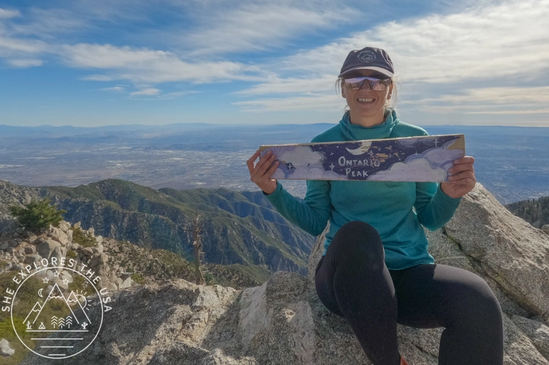
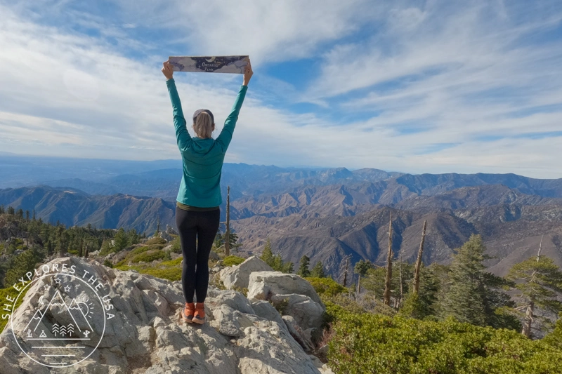
After a quick lunch and a photo session at the summit, I headed back down, feeling very accomplished to have conquered my 8th peak in my Six Pack of Peaks challenge. I hadn’t hiked properly since Labor Day, so my legs were starting to feel tired, and my knee / IT band hurt the whole way down. I made it back to the trailhead at 3.25 pm. After a lovely yoga session in the trailhead parking lot to stretch and prep my body for the drive home, I drove back to San Diego!
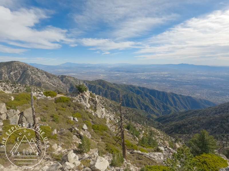
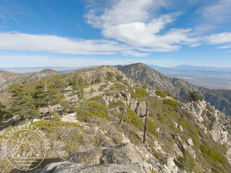
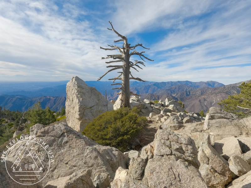
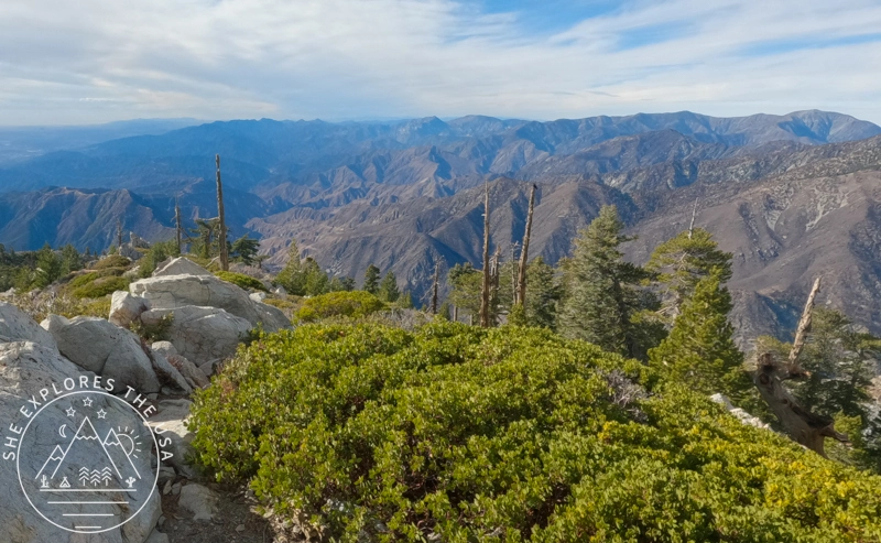
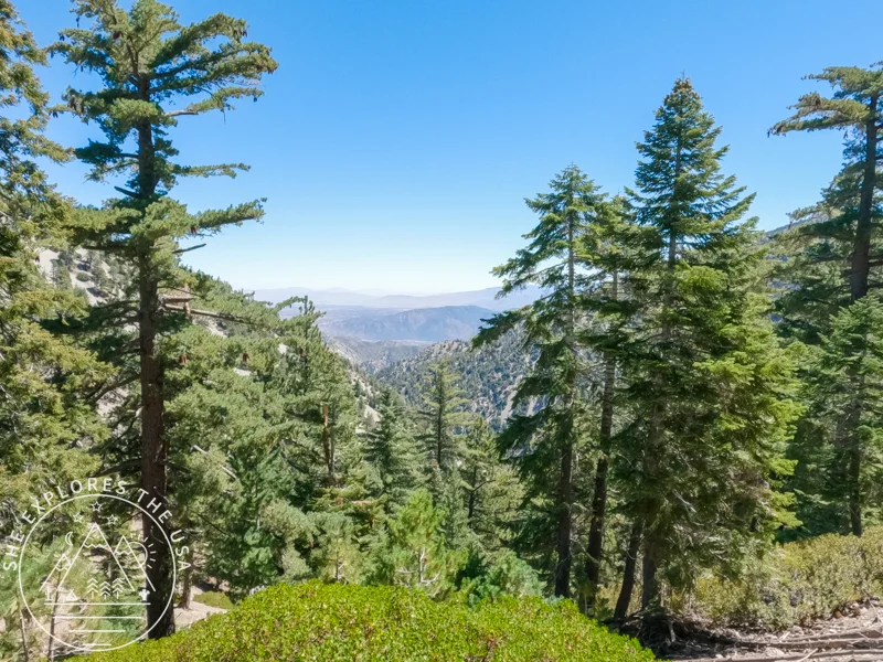
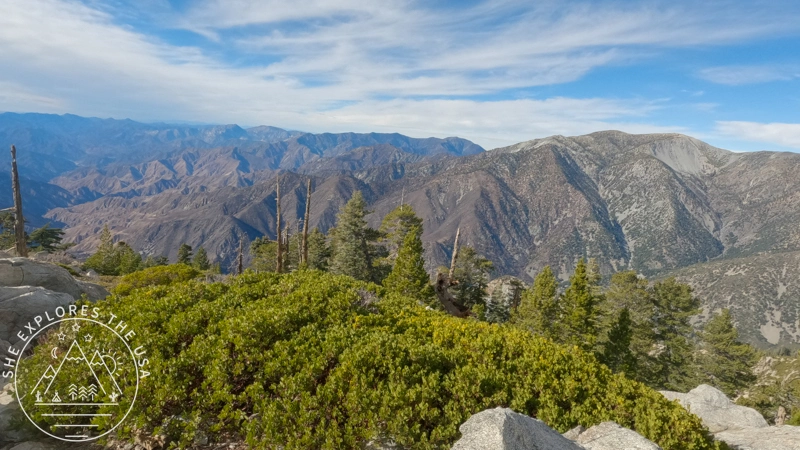
I am including more photos of the views here because they truly are the highlight of the hike!
Relive My Ontario Peak Hike in 3D Video
Check out my Ontario Peak hike on Relive! With Relive, you can create custom 3D videos that vividly depict your journeys, turning memories into captivating stories for sharing. Through Relive’s immersive storytelling, you can share the beauty of your adventures and inspire others to explore nature.
FAQ: Ontario Peak Hike
Do I need a permit for Ontario Peak?
Yes, only a Southern California Adventure Pass is required for parking at the Icehouse Canyon Trailhead. No wilderness permit is needed unless you’re also hiking Cucamonga Peak.
How hard is the Ontario Peak hike?
It’s considered a challenging hike due to the 3,800+ feet of elevation gain and 12.5-mile distance, but it’s doable with preparation, breaks, and proper gear.
Where is Ontario Peak located?
Ontario Peak is in the San Gabriel Mountains, northeast of Los Angeles, near Mount Baldy, California.
When is the best time to hike Ontario Peak?
Late spring to fall, May through November, is ideal. Snow and ice can make the trail risky in winter and early spring.
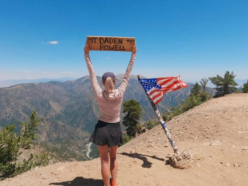
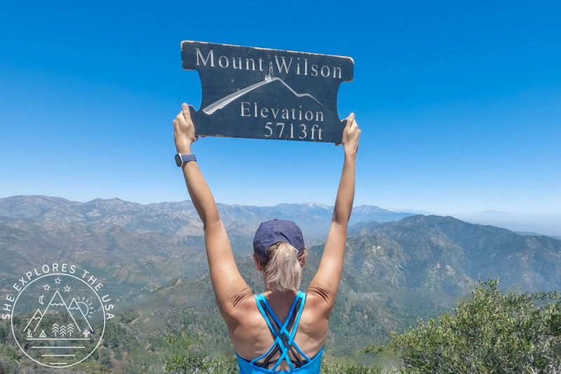
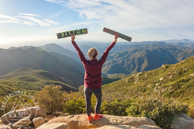
Is Ontario Peak part of the Six Pack of Peaks?
Yes! Ontario Peak is one of the alternate summits in the Southern California Six Pack of Peaks Challenge.
Are dogs allowed on the trail?
Yes, dogs are welcome, but must be kept on leash.
Final Thoughts & Tips for Ontario Peak Hike
Hiking Ontario Peak was the highlight of my weekend. I’m thrilled to have felt so much better on this hike, and I’m excited to tackle a few more before the year ends as part of my Six Pack of Peaks challenge! If this adventure inspires you, I encourage you to take on your own challenge: hitting the trails, setting new fitness goals, or simply exploring the great outdoors.


Post originally published on December 1, 2024, and last updated on April 4, 2026.