Sawmill Mountain Hike via Mt Pinos (Six Pack of Peaks)
DISCLOSURE: This post may contain affiliate links. If you purchase after clicking one of my links, I may earn a small commission at no extra cost to you. As an Amazon Associate, I earn from qualifying purchases. For more information, see my disclaimer.
My first hike of the new year was to Mount Pinos and Sawmill Mountain, a trail I had planned to tackle last year as part of my SoCal Six Pack of Peaks Challenge. Despite several attempts, it didn’t happen until the third day of the new year, close enough, right? In this post, I’ll share my experience hiking this alternate peak: a short and sweet trail with a long drive from San Diego!
50% Off AllTrails Plus
Planning hikes, downloading maps, getting a little more off-grid without losing your way… this is the upgrade that actually gets used.
Planning Your Mount Pinos and Sawmill Mountain Hike
Trail Stats: Sawmill Mountain via Mt Pinos
- Location: Chula Vista Trailhead, Frazier Park, CA
- Distance: ~7.5 miles roundtrip
- Elevation Gain: ~1,400 feet
- Trail Type: Out & back
- Summits: Mount Pinos, Sawmill Mountain
- Difficulty: Moderate
- Time: 3–4 hours
- Dog-Friendly: Yes, on leash
- Parking: Large lot at trailhead (Adventure Pass required in winter)
- Restrooms: Vault toilets (summer); portable toilets (winter)
- Best Season: Spring through fall (check snow conditions in winter)
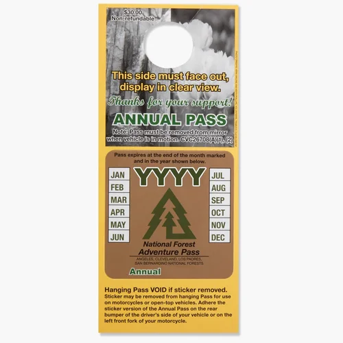
- Permit Required: No hiking permit; Adventure Pass needed in winter
Trailhead Directions and Parking Tips
The Mount Pinos and Sawmill Mountain hike starts from the Chula Vista Trailhead, located in Frazier Park, CA, in Kern County. The trailhead is open year-round, though be mindful of snow in the winter and fire restrictions.
The road leading to the trailhead has snow gates, and there are signs indicating that tire chains may be required at several spots, so be prepared. It’s essential to check the weather and snow forecast before heading out.
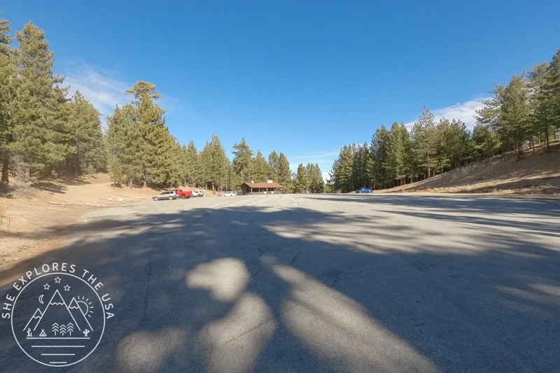
A large parking lot is available at the trailhead. During the summer, the nearby Chula Vista Campground offers vault toilets, but in the winter months, portable toilets are provided. It’s important to check current fire restrictions before heading out. While the area sees medium to heavy traffic, it’s busiest in the summer.
Nearby Peaks: If you have more time, Grouse Mountain and Chumash Peak are great nearby options worth exploring, whether you’re up for a multi-peak challenge or planning another trip.
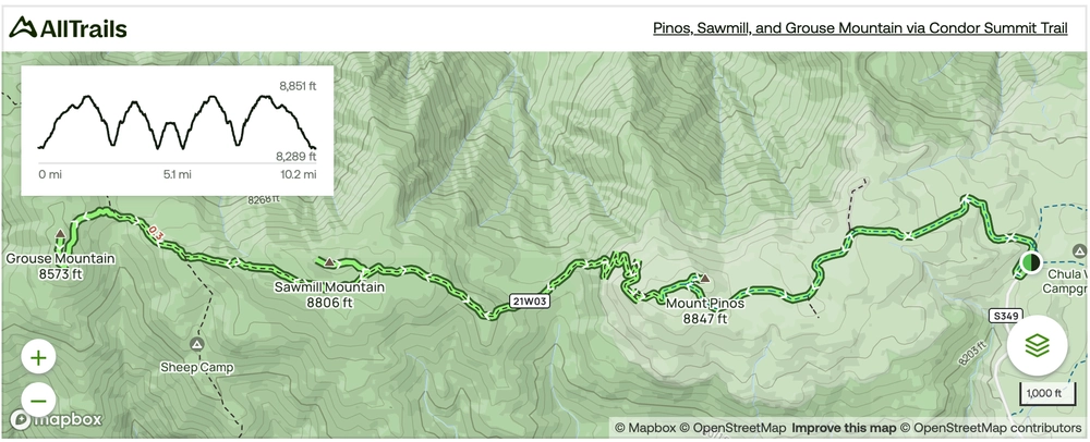
Mount Pinos and Sawmill Mountain Trail Map
I followed this AllTrails route but turned around after conquering Sawmill Mountain, skipping Grouse Mountain. Don’t worry about the elevation profile, it’s not as tough as it looks!
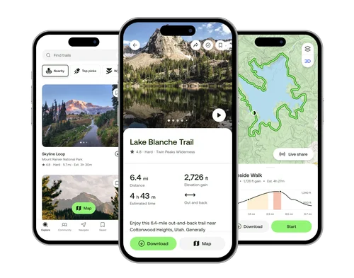
🥾 Plan Smarter Hikes with AllTrails
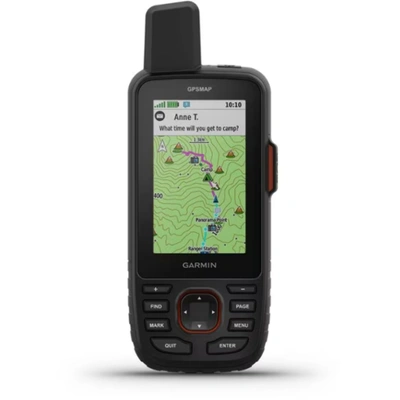
AllTrails is my go-to for trip planning, from checking trail reviews to downloading maps, navigating from my phone, and sending routes straight to my Garmin 67i. Offline maps, alerts, and AI route planning make upgrading to Plus & Peak worth it!
Permits and Regulations for Mount Pinos and Sawmill Mountain
There is no fee for parking or hiking Mount Pinos and Sawmill Mountain during the summer season. However, an Adventure Pass or an Interagency Pass is required in the winter season when snow and amenities are present.

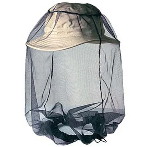
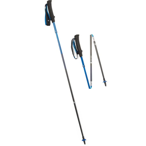
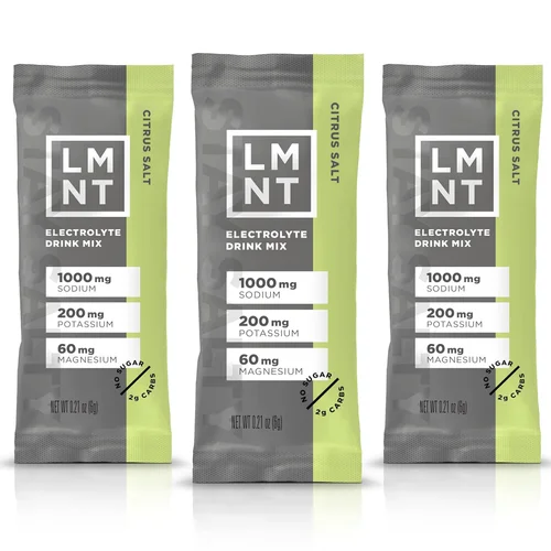
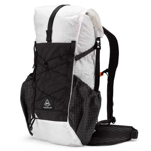
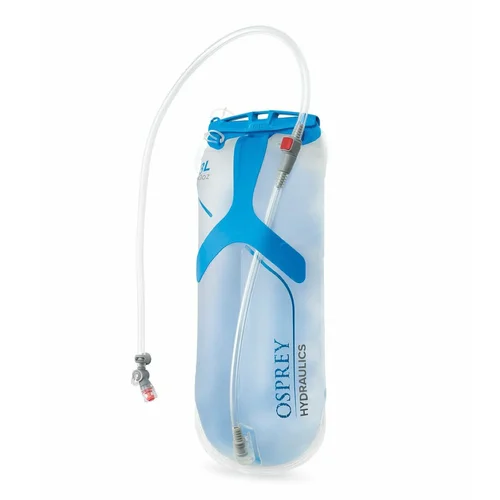
Essential Gear for a Safe and Easy Hike
In addition to the famous Ten Essentials, explore the following gear recommendations for tackling your hike on Mount Pinos and Sawmill Mountain.
The Ten Essentials
- Navigation
- Headlamp
- Sun protection clothing, sunscreen, and sunglasses
- First aid
- Knife
- Fire matches
- Shelter (doesn’t have to be a tent, I carry an emergency bivy)
- Extra food
- Extra water
- Extra clothes
Gear Recommendation
Head over to my curated outdoor gear shop to browse more of my favorite outdoor essentials.


Trail Overview: Mount Pinos and Sawmill Mountain (SoCal Six Pack Alternate Hike)
Reaching the Trailhead
Hiking Sawmill Mountain meant a three-hour drive to reach the trailhead. I love driving because I find it therapeutic and always use the time to focus on my healing, so I was pumped for this adventure. I left San Diego at 9:30 AM, arriving at the Chula Vista Trailhead by 12:50 PM.
Trail Conditions and What to Expect on the Hike
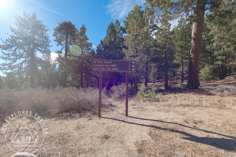
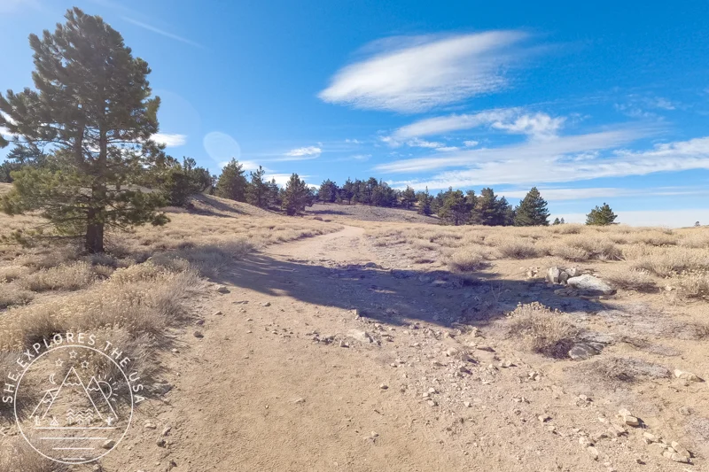
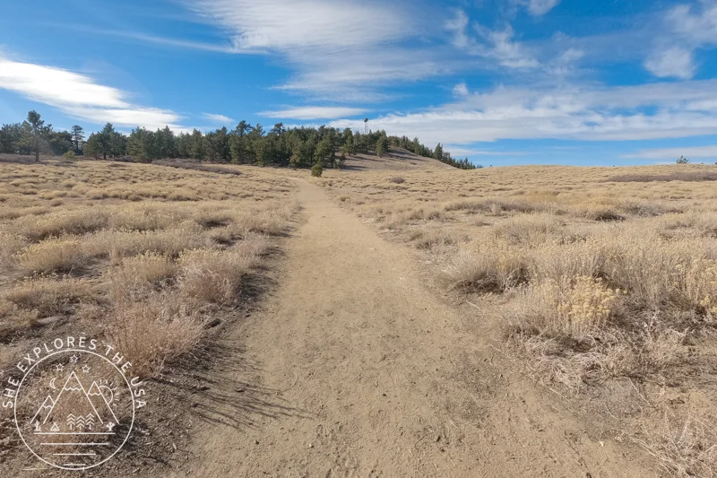
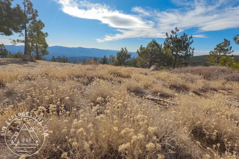
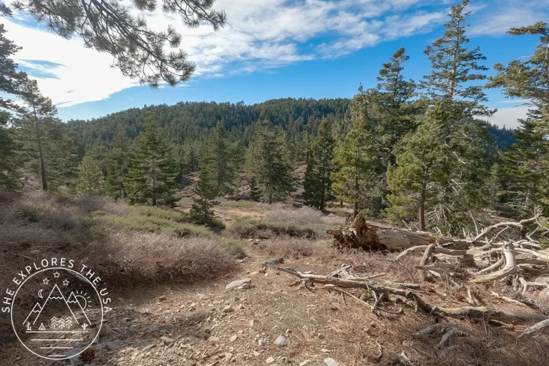
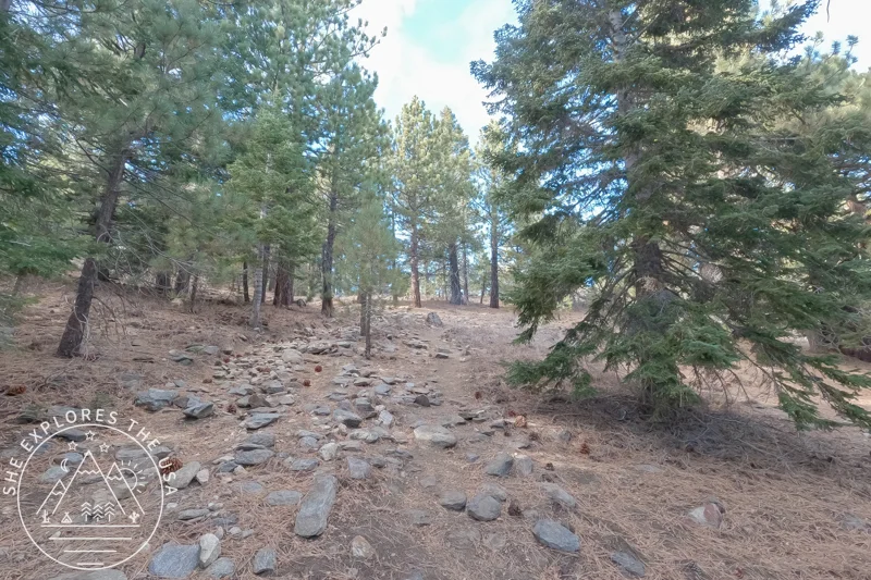
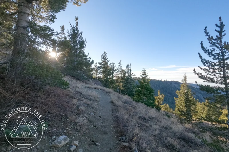
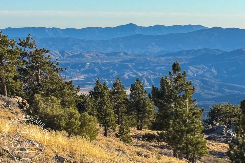
The trek begins on the Condor Summit Trail, which is a wide, service-road-like trail that’s very easy to follow. It is clearly marked with signs from the parking lot. I visited in early January and found the trail to be well-maintained. I imagine it would be even more scenic in the spring when wildflowers are in bloom.
Starting with Mount Pinos: A Scenic and Accessible Summit
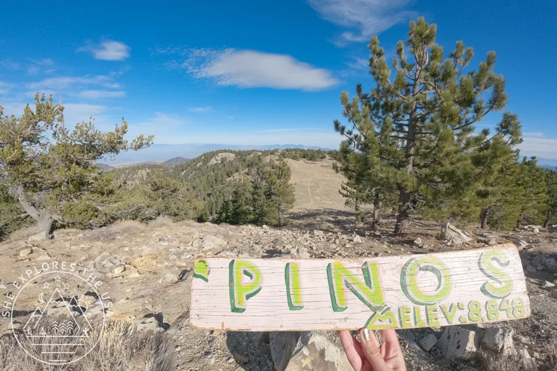
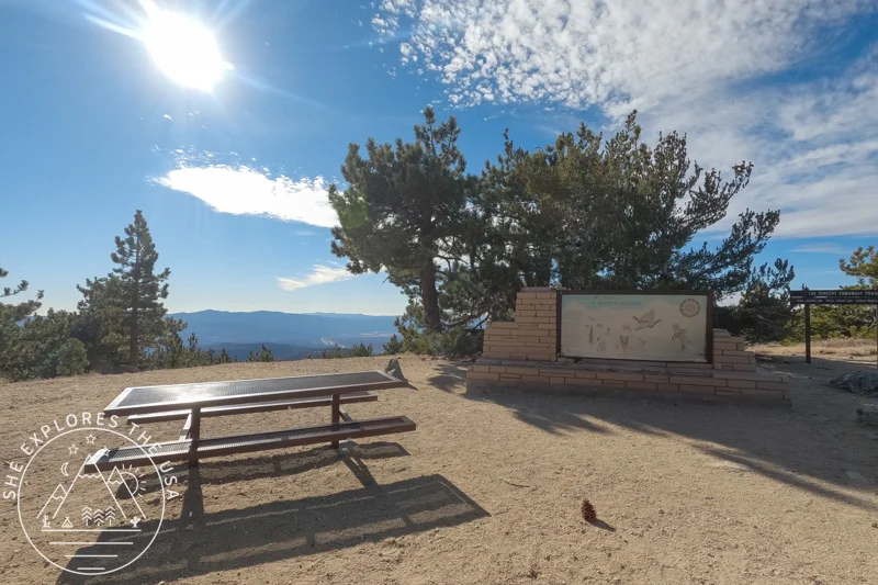
The hike to Mount Pinos is moderate, and after just 1.7 miles, you reach the first summit: Mount Pinos! Although this isn’t part of the SoCal Six Pack of Peaks, it has a wooden sign perfect for photo opportunities. If you’ve done any of the other SoCal Six Pack of Peaks, this peak might feel like you’re cheating; it was too easy to get to. I spent a few minutes taking photos before continuing onto Sawmill Mountain.
Continuing to Sawmill Mountain: A Short but Rewarding Extension
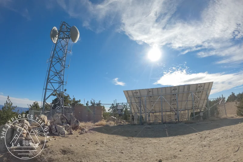
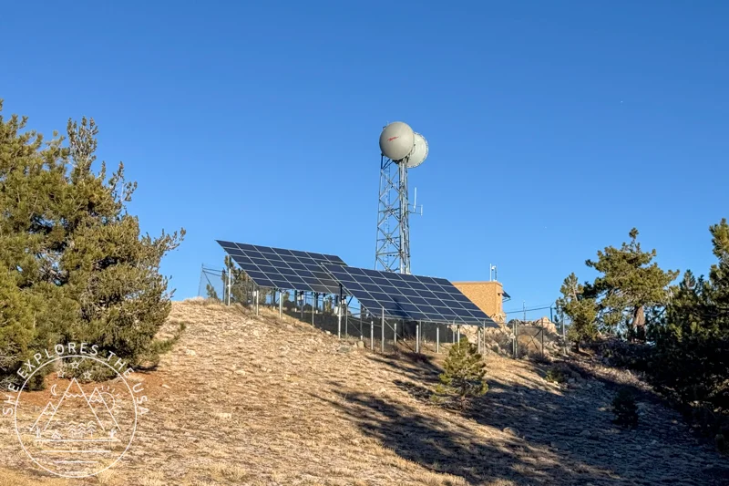
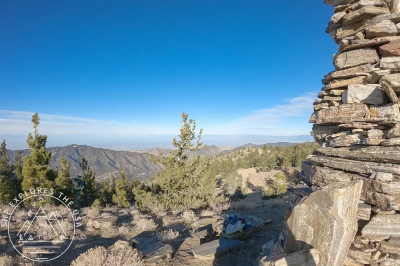
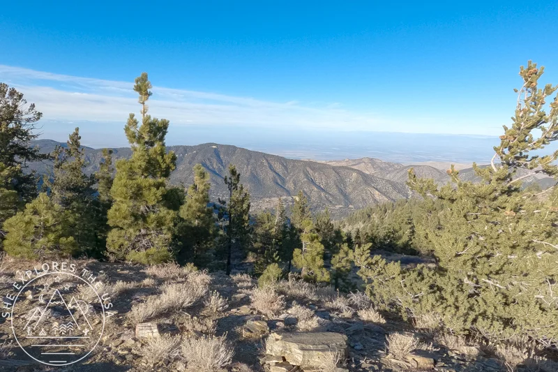
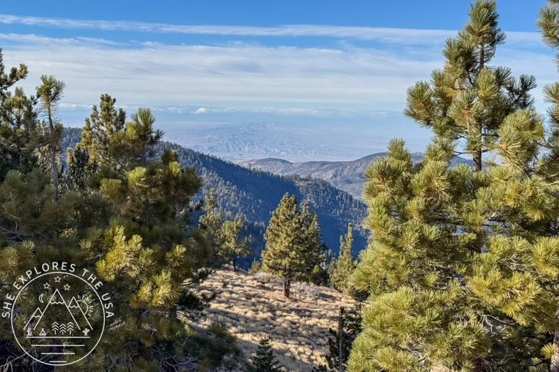
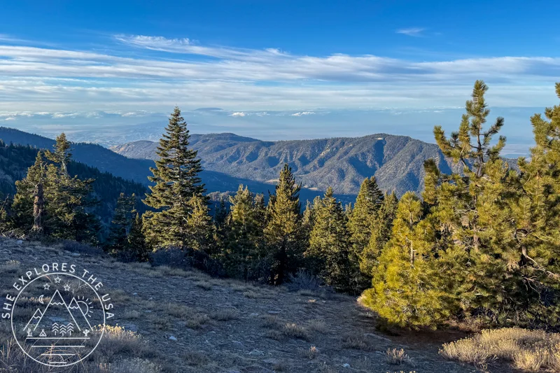
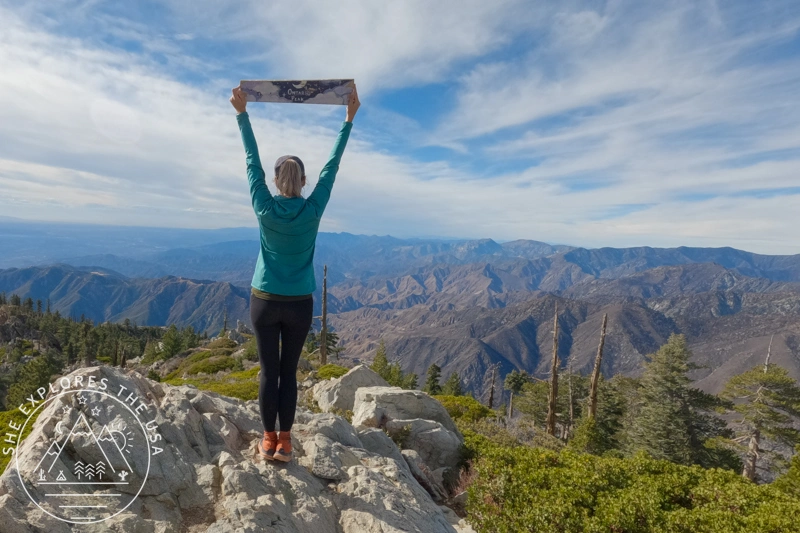
Sawmill Mountain (or Sawmill Peak) is the alternate peak to conquer if you’re participating in the SoCal Six Pack of Peaks challenge. As you leave Mount Pinos, you can take a quick detour by the Mount Pinos Condor Observation site, which offers stunning views of the Chumash Wilderness.
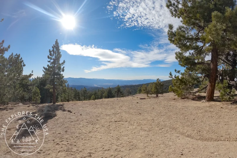
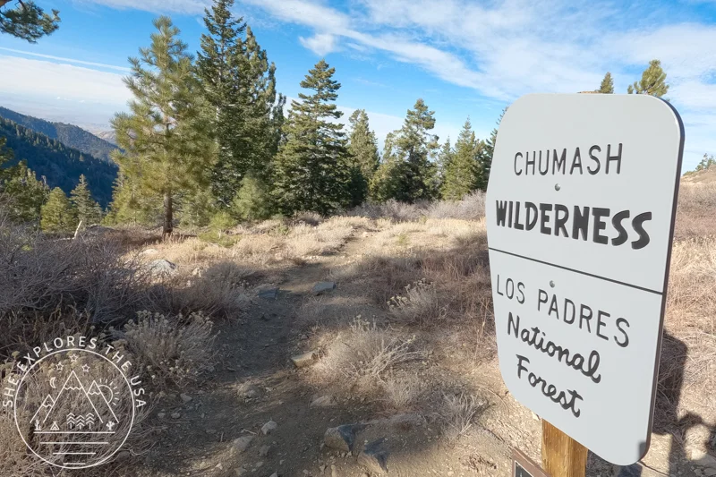
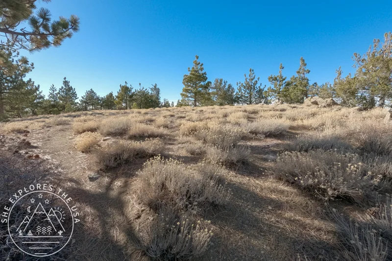
Continuing west, you’ll spot another mountain in the distance and quickly realize that it’s your next destination: Sawmill! The trail then turns to switchbacks, which can be rocky and steep at times, but the distance is relatively short. As you ascend the switchbacks, you’ll enter the Chumash Wilderness, where the area’s rugged beauty truly shines.
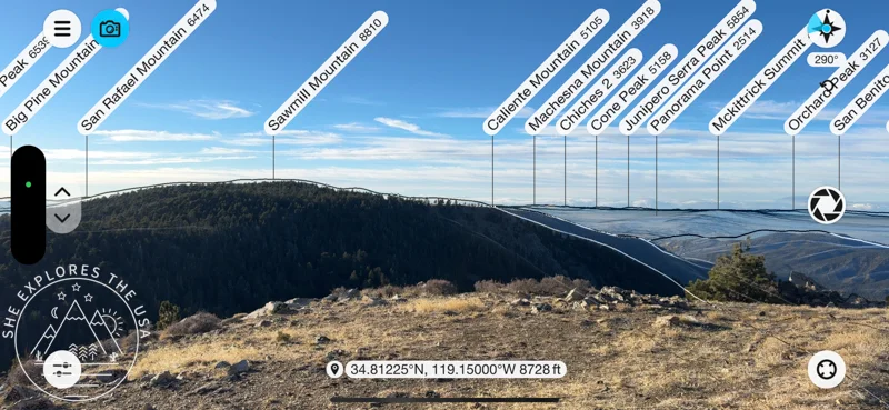
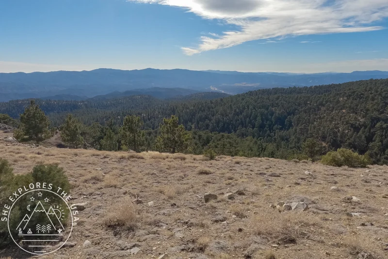
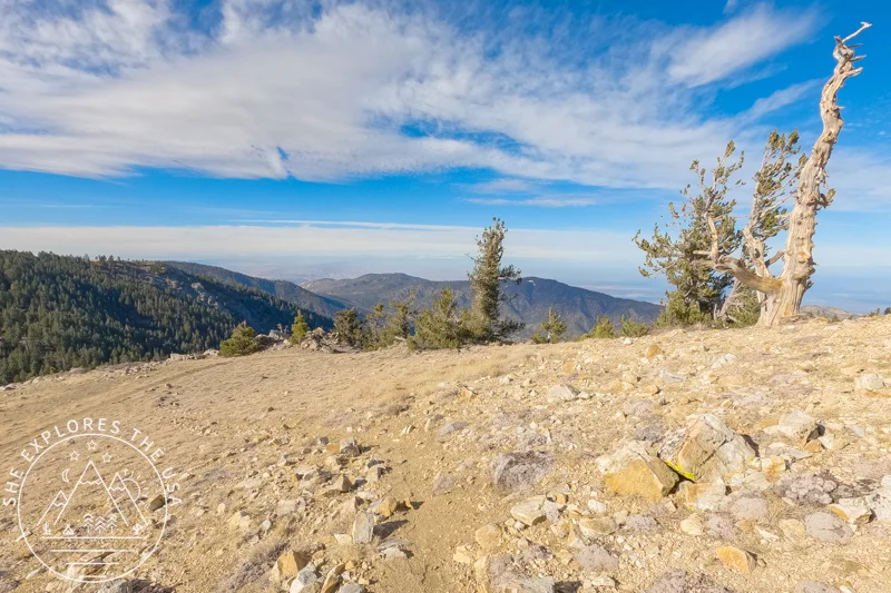
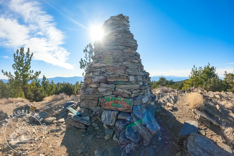
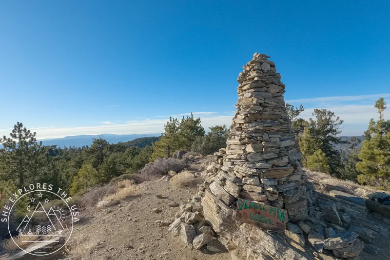
Once you reach the bottom, the trail ascends again through a forest carpeted with pine cones, filling the air with delightful scents. You’ll finally reach Sawmill Mountain after about 3.8 miles from the trailhead.
On the day I went, the summit was super cold and windy, and I found myself daydreaming about sitting on my heated car seat, haha! I tried to enjoy my lunch there before my photoshoot, but I didn’t stay up long because of the weather. Instead, I decided to head back down and finish eating somewhere a bit warmer and much more sheltered from the wind.
The “hardest” part of the hike is the ascent back up towards Mount Pinos through the switchbacks, but if you’ve tackled any other SoCal Six Pack of Peaks hikes, you won’t find that section too challenging. After 2.5 hours of moving time, I made it back to the trailhead!
I didn’t encounter anyone on the trail that day, so I had both summits and the whole trail to myself, which was amazing. It’s my favorite way to recharge and truly enjoy the wilderness!
FAQ: Sawmill Mountain Hike via Mt Pinos
Is Sawmill Mountain part of the official SoCal Six Pack of Peaks?
Yes, Sawmill Mountain is one of the alternate peaks in the SoCal Six Pack of Peaks challenge. It’s often hiked via Mount Pinos, which is not part of the challenge but makes a great warm-up summit.
Do I need a permit to hike Sawmill Mountain?
There is no permit required to hike to Sawmill Mountain. There is no fee for parking or hiking Mount Pinos and Sawmill Mountain during the summer season. However, an Adventure Pass or an Interagency Pass is required in the winter season when snow and amenities are present.
Where does the hike to Sawmill Mountain start?
The hike begins at the Chula Vista Trailhead in Frazier Park, California, near the Chula Vista Campground. This is the same access point used for Mount Pinos and nearby trails like the Condor Observation Site.
How difficult is the Sawmill Mountain hike?
It’s moderate. The trail is relatively gradual up to Mount Pinos, and the section to Sawmill has short, steeper switchbacks but nothing technical. It’s a great intermediate hike, especially if you’re building up for the more intense Six Pack peaks.
Final Thoughts: Are Mount Pinos and Sawmill Mountain Worth the Effort?
Hiking Sawmill Mountain was my 9th adventure in the SoCal Six Pack of Peaks challenge, and it turned out to be a fun and rewarding experience. I went on a Friday during the holidays, so the traffic was likely lighter than it would have been on a regular day, which made the 7-hour drive from San Diego more manageable. Earlier in the year, I had also considered camping at the trailhead to make a weekend out of it. If you’re into camping and not keen on the long drive, that could be a great option for tackling Sawmill!
Southern California Six Pack of Peaks Hikes
Sawmill Mountain Hike via Mt Pinos (Six Pack of Peaks)
My first hike of the new year was to Mount Pinos and Sawmill Mountain, a trail I had planned to…
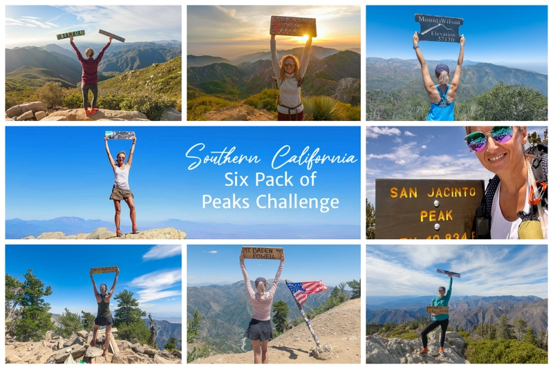
The Epic SoCal Six Pack of Peaks Hiking Challenge
I took on the SoCal Six Pack of Peaks Hiking Challenge, also known as the Southern California Six Pack of…
Ontario Peak Hike Guide: Trail Tips & Six Pack Challenge
Ontario Peak is a standout summit in the San Gabriel Mountains, offering panoramic views, alpine vibes, and a solid challenge…

Cucamonga Peak Hike via Icehouse Canyon Trail Guide
Cucamonga Peak stands out as one of the most iconic hikes in Southern California. Rising to 8,862 feet, it’s a…
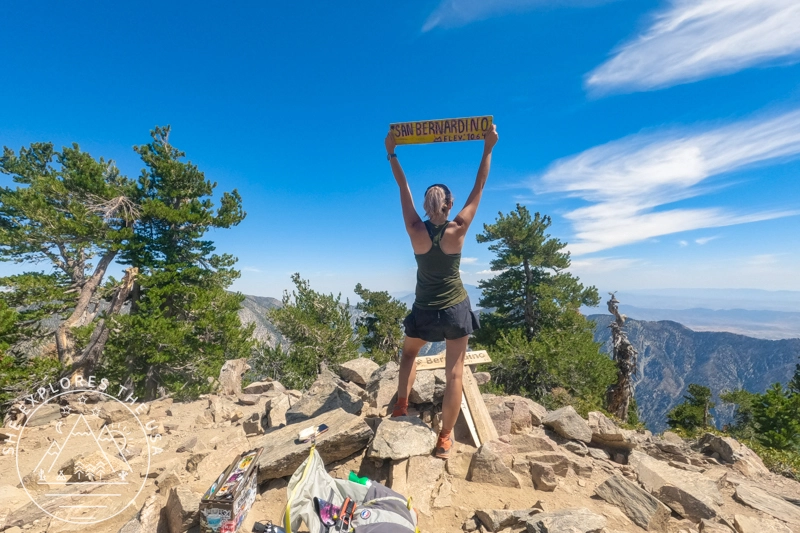
Hiking San Bernardino Peak via the Angelus Oaks Trail
San Bernardino Peak is one of the original hikes in the SoCal Six Pack of Peaks challenge, and the Angelus…
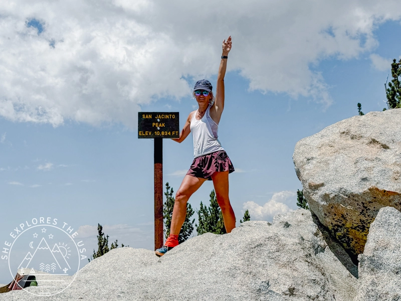
San Jacinto Peak Hike Via Marion Mountain Trail
San Jacinto via Marion Mountain Trail is one of the original SoCal Six Pack of Peaks challenge hikes, and I…
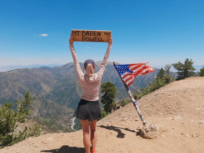
Mount Baden Powell Hike via Vincent Gap Trailhead
I took advantage of the July 4th holiday to drive up to LA and conquer Mt Baden Powell for my…
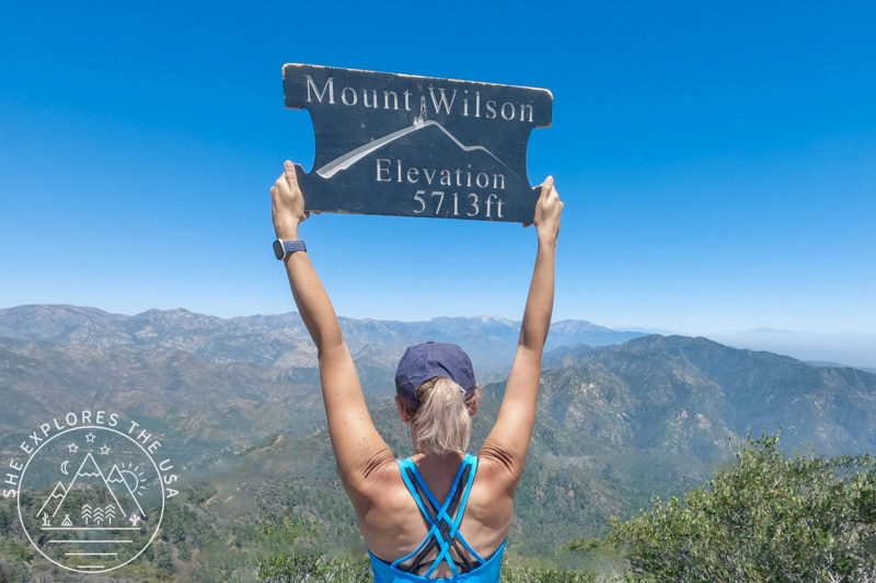
Mount Wilson Hike: Observatory, Trails & Views
Mount Wilson has a reputation, and it’s well earned. As part of the SoCal Six Pack of Peaks Challenge, this…

Hike Strawberry Peak in LA: Trail Tips & Epic Sunset
In my journey to conquer the peaks of the SoCal six-pack of peaks challenge, I aimed for the Strawberry Peak…
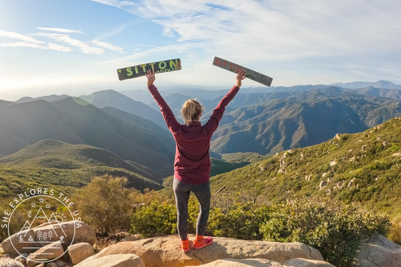
Sitton Peak Trail Guide: SoCal Six Pack’s Easiest Peak
Sitton Peak, nestled in the San Mateo Canyon Wilderness near Lake Elsinore, CA, is a hidden gem and an excellent…
Post originally published on January 7, 2025, and last updated on April 4, 2026.